File:Pole a les mezi Dobronínem a Štokami.jpg
Jump to navigation
Jump to search

Size of this preview: 800 × 600 pixels. Other resolutions: 320 × 240 pixels | 640 × 480 pixels | 1,024 × 768 pixels | 1,280 × 960 pixels | 2,560 × 1,920 pixels | 2,816 × 2,112 pixels.
Original file (2,816 × 2,112 pixels, file size: 2.05 MB, MIME type: image/jpeg)
Captions
Captions
Add a one-line explanation of what this file represents
Summary
[edit]
| Description |
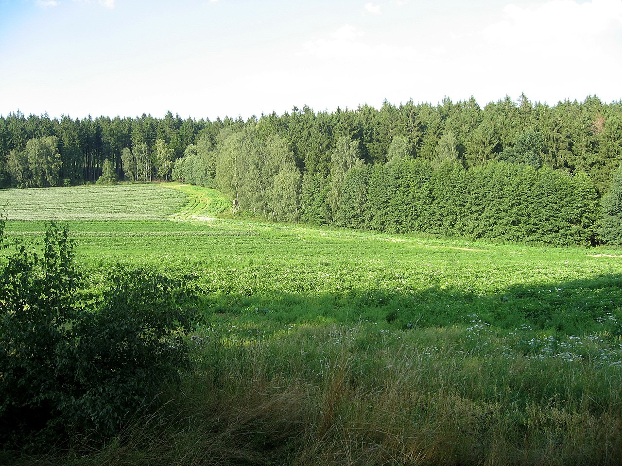
Čeština: Pole a les mezi Dobronínem a Štokami English: Field and forest near Štoky, Havlíčkův Brod district, Vysočina region, Czech Republic |
| Date | |
| Source | Self-photographed |
| Author | Dezidor |
| Camera location | | View this and other nearby images on: OpenStreetMap |
|---|
Licensing
[edit]
I, the copyright holder of this work, hereby publish it under the following license:
This file is licensed under the Creative Commons Attribution 3.0 Unported license.
- You are free:
- to share – to copy, distribute and transmit the work
- to remix – to adapt the work
- Under the following conditions:
- attribution – You must give appropriate credit, provide a link to the license, and indicate if changes were made. You may do so in any reasonable manner, but not in any way that suggests the licensor endorses you or your use.
File history
Click on a date/time to view the file as it appeared at that time.
| Date/Time | Thumbnail | Dimensions | User | Comment | |
|---|---|---|---|---|---|
| current | 23:19, 22 September 2008 | | 2,816 × 2,112 (2.05 MB) | Dezidor (talk | contribs) | {{Information |Description={{cs|Pole a les mezi Dobronínem a Štokami}} |Source= own photo |Date= 2008 |Author=Dezidor |Permission= |other_versions= }} {{location dms|49|29|50.98840580145975|N|15|36|15.782203674316406|E}} == Licensi |
You cannot overwrite this file.
File usage on Commons
There are no pages that use this file.