File:Plesivec 477m Ceske stredohori Vlastislav LT CZ view towards NE 171.jpg
Jump to navigation
Jump to search
Size of this preview: 800 × 600 pixels. Other resolutions: 320 × 240 pixels | 640 × 480 pixels | 1,024 × 768 pixels | 1,280 × 960 pixels | 1,984 × 1,488 pixels.
Original file (1,984 × 1,488 pixels, file size: 699 KB, MIME type: image/jpeg)
Captions
Captions
Add a one-line explanation of what this file represents
| Description |
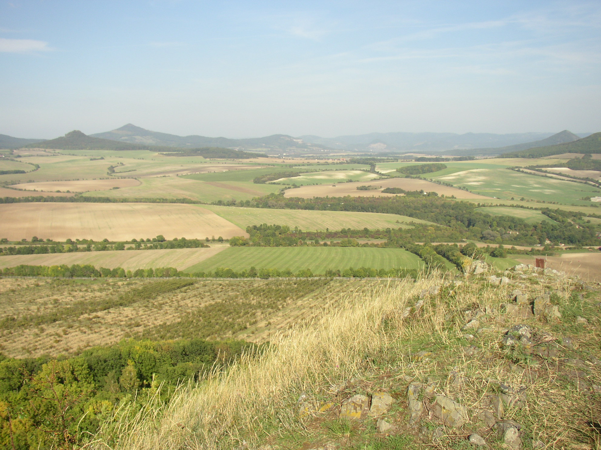
Čeština: Výhled z vrcholu Plešivec (477 m) v Českém středohoří severovýchodním směrem do kotliny mezi obcemi Vlastislav a Velemín. Zeleň v popředí vpravo naznačuje údolí potoka Modly. V dáli vlevo vrch Ostrý (553 m), vzdálený 4,6 km, za ním vyšší Kletečná (706 m), téměř 9 km daleko, při pravém okraji pak Boreč (446 m) v zákrytu za svahem Sutomského vrchu (505 m) (již mimo obraz). Přibližně uprostřed snímku se (za vzdálenějším koncem esovitě prohnutého pruhu zeleně) nalézá vesnice Březno.
English: View from summit of Plešivec (477 m) in České středohoří Mts. towards northeast, to basin between villages of Vlastislav and Velemín. On the left horizon there is hill of Ostrý (553 m) and beyond it Kletečná (706 m). In the right hill of Boreč (446 m). Village of Březno is barely discernible in middle of the image (beyond distant end of the S-shaped line of vegetaion). |
| Date | |
| Source | Own work |
| Author | User:Miaow Miaow |
| Permission (Reusing this file) |
PD-self |
| Camera location | | View this and other nearby images on: OpenStreetMap |
|---|
| I, the copyright holder of this work, release this work into the public domain. This applies worldwide. In some countries this may not be legally possible; if so: I grant anyone the right to use this work for any purpose, without any conditions, unless such conditions are required by law. |
File history
Click on a date/time to view the file as it appeared at that time.
| Date/Time | Thumbnail | Dimensions | User | Comment | |
|---|---|---|---|---|---|
| current | 11:52, 21 February 2012 | | 1,984 × 1,488 (699 KB) | Miaow Miaow (talk | contribs) | {{Information |Description= {{cs|Výhled z vrcholu Plešivec (477 m) v Českém středohoří severovýchodním směrem do kotliny mezi obcemi Vlastislav a [[:cs:Vele |
You cannot overwrite this file.
File usage on Commons
There are no pages that use this file.