File:Plateau der abgegangenen Kuxburg.jpg
Jump to navigation
Jump to search

Size of this preview: 800 × 600 pixels. Other resolutions: 320 × 240 pixels | 640 × 480 pixels | 1,024 × 768 pixels | 1,280 × 960 pixels | 2,560 × 1,920 pixels | 5,520 × 4,140 pixels.
Original file (5,520 × 4,140 pixels, file size: 12.78 MB, MIME type: image/jpeg)
Captions
Captions
Add a one-line explanation of what this file represents
Summary
[edit]
| Description |
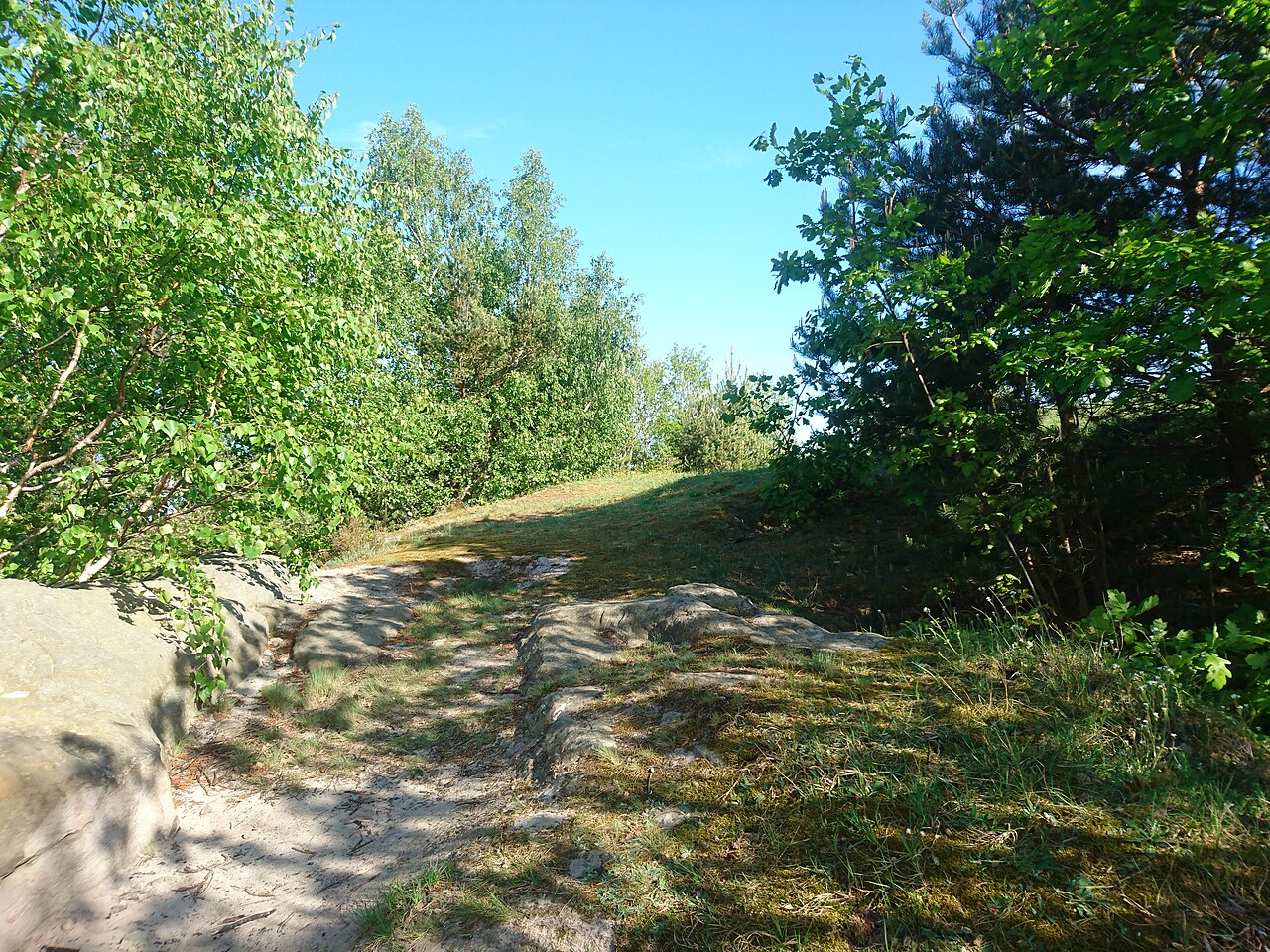
Deutsch: Plateau der abgegangenen Kuxburg bei (heute OT von Blankenburg) |
| Date | |
| Source | Own work |
| Author | Sarkana |
| Other versions | flickr:18_0503_172034 |
| Camera location | | View this and other nearby images on: OpenStreetMap |
|---|
Licensing
[edit]
|
English: If you want to use this file commercially, you have to do these under the terms of the Free Art License.
Deutsch: Wenn Sie diese Datei kommerziell nutzen möchten, müssen Sie dies unter den Bedingungen der Licence Art Libre tun.
English: Otherwise you may choose out of of the following Creative Commons licence:
Deutsch: Andernfalls können Sie auch die folgende Creative Commons-Lizenz nutzen:
|
File history
Click on a date/time to view the file as it appeared at that time.
| Date/Time | Thumbnail | Dimensions | User | Comment | |
|---|---|---|---|---|---|
| current | 14:08, 29 December 2019 | | 5,520 × 4,140 (12.78 MB) | Sarkana (talk | contribs) | =={{int:filedesc}}== {{Information |Description={de:Planteau der abgegangenen Kuxburg bei Timmerode (heute OT von Blankenburg)}} |Source=[https://www.flickr.com/photos/sarkana/47984704261/ 18_0503_172034] |Date=2018-05-03 17:20 |Author={{own}} |Permission= |other_versions=[https://www.flickr.com/people/25591034@N04 Sarkana] }} {{Location dec|51.776527|11.010711|source:Flickr}} =={{int:license-header}}== If you want to use this file commerci... |
You cannot overwrite this file.
File usage on Commons
The following 3 pages use this file:
File usage on other wikis
The following other wikis use this file: