File:Plat of survey of Wm. M. Rapley's property fronting square west of sq. 471 - showing the docks and wharves described in lease and also the part occupied by Stephenson & Bro. - (Washington D.C.) LOC 88693038.jpg
Jump to navigation
Jump to search

Size of this preview: 800 × 597 pixels. Other resolutions: 320 × 239 pixels | 640 × 477 pixels | 1,024 × 764 pixels | 1,280 × 955 pixels | 2,560 × 1,909 pixels | 6,969 × 5,198 pixels.
Original file (6,969 × 5,198 pixels, file size: 2.73 MB, MIME type: image/jpeg)
Captions
Captions
Add a one-line explanation of what this file represents
Summary
[edit]| Description |
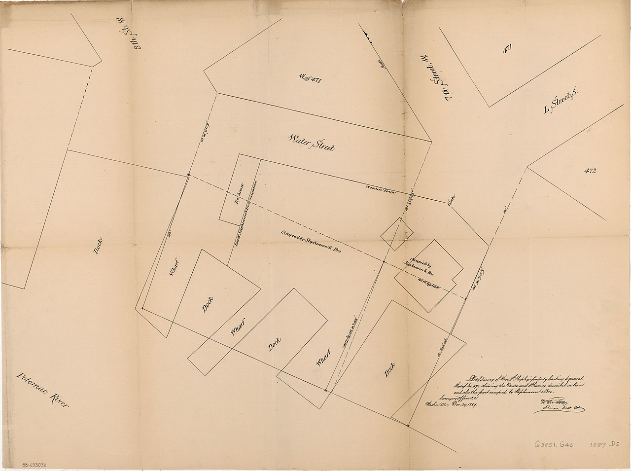
English: Cadastral survey map covering waterfront area between 7th and 8th streets S.W. "Dec. 29, 1887." LC copy fold-lined and mounted on cloth backing. Available also through the Library of Congress Web site as a raster image. DCP |
||
| Title | Plat of survey of Wm. M. Rapley's property fronting square west of sq. 471 : showing the docks and wharves described in lease and also the part occupied by Stephenson & Bro. : [Washington D.C.] | ||
| Shelf ID | G3851.G46 1887 .D5 | ||
| Date | |||
| Source | https://www.loc.gov/item/88693038/ | ||
| Author | District Of Columbia. Office Of The Surveyor; Forsyth, William; Rapley, Wm. M. (William M.); Stephenson & Bro | ||
| Permission (Reusing this file) |
|
||
| Other versions |
|
||
| Location | United States · Washington D.C. · District Of Columbia · Washington | ||
| Part of | American Memory · Catalog · County Landownership Maps · Geography And Map Division · Cultural Landscapes | ||
| Subject | Washington (D.C.) · Surveys · Wharves · Docks · Washington · Waterfronts · United States · Maps · District Of Columbia · Real Property |


_LOC_88693038.jpg&action=edit§ion=1)
Licensing
[edit]_LOC_88693038.jpg&action=edit§ion=2)
|
This is a faithful photographic reproduction of a two-dimensional, public domain work of art. The work of art itself is in the public domain for the following reason:
The official position taken by the Wikimedia Foundation is that "faithful reproductions of two-dimensional public domain works of art are public domain".
This photographic reproduction is therefore also considered to be in the public domain in the United States. In other jurisdictions, re-use of this content may be restricted; see Reuse of PD-Art photographs for details. | ||||
File history
Click on a date/time to view the file as it appeared at that time.
| Date/Time | Thumbnail | Dimensions | User | Comment | |
|---|---|---|---|---|---|
| current | 15:01, 21 July 2018 | | 6,969 × 5,198 (2.73 MB) | Fæ (talk | contribs) | LOC Maps https://www.loc.gov/item/88693038/ #7128 |
You cannot overwrite this file.
File usage on Commons
The following page uses this file:
_LOC_88693038.jpg&oldid=424293028)