File:Planned flight map of the Oiseau Blanc.svg
Jump to navigation
Jump to search

Size of this PNG preview of this SVG file: 800 × 332 pixels. Other resolutions: 320 × 133 pixels | 640 × 266 pixels | 1,024 × 425 pixels | 1,280 × 532 pixels | 2,560 × 1,063 pixels | 1,835 × 762 pixels.
Original file (SVG file, nominally 1,835 × 762 pixels, file size: 133 KB)
Captions
Captions
Add a one-line explanation of what this file represents
| Description |
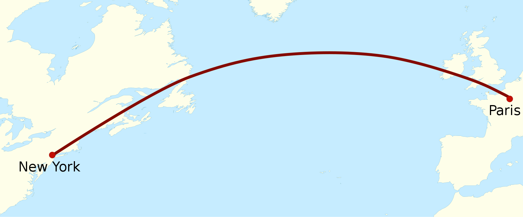
English: Planned flight-map of the Oiseau Blanc in 1927 Français : Carte de l'itinéraire de vol prévu de l'Oiseau Blanc en 1927 |
| Date | (UTC) |
| Source | |
| Author |
|

|
This SVG file contains embedded text that can be translated into your language, using any capable SVG editor, text editor or the SVG Translate tool. For more information see: About translating SVG files. |
I, the copyright holder of this work, hereby publish it under the following licenses:

|
Permission is granted to copy, distribute and/or modify this document under the terms of the GNU Free Documentation License, Version 1.2 or any later version published by the Free Software Foundation; with no Invariant Sections, no Front-Cover Texts, and no Back-Cover Texts. A copy of the license is included in the section entitled GNU Free Documentation License. |
This file is licensed under the Creative Commons Attribution-Share Alike 3.0 Unported, 2.5 Generic, 2.0 Generic and 1.0 Generic license.
- You are free:
- to share – to copy, distribute and transmit the work
- to remix – to adapt the work
- Under the following conditions:
- attribution – You must give appropriate credit, provide a link to the license, and indicate if changes were made. You may do so in any reasonable manner, but not in any way that suggests the licensor endorses you or your use.
- share alike – If you remix, transform, or build upon the material, you must distribute your contributions under the same or compatible license as the original.
You may select the license of your choice.
File history
Click on a date/time to view the file as it appeared at that time.
| Date/Time | Thumbnail | Dimensions | User | Comment | |
|---|---|---|---|---|---|
| current | 17:08, 18 June 2017 | | 1,835 × 762 (133 KB) | Joe Roe (talk | contribs) | Removed hyphen from New York |
| 08:12, 27 April 2010 |  | 1,835 × 762 (133 KB) | Pethrus (talk | contribs) | Fixed city names | |
| 08:11, 27 April 2010 |  | 1,835 × 762 (133 KB) | Pethrus (talk | contribs) | Wider size, bigger font | |
| 19:59, 26 April 2010 |  | 332 × 138 (124 KB) | Pethrus (talk | contribs) | Fixed bug | |
| 19:58, 26 April 2010 |  | 332 × 138 (124 KB) | Pethrus (talk | contribs) | {{Information |Description={{en|Planned flight-map of the Oiseau Blanc in 1927}}{{fr|Carte de l'itinéraire de vol prévu de l'Oiseau Blanc en 1927}} |Source=*File:BlankMap-World8.svg |Date=2010-04-26 19:54 (UTC) |Author=*[[:File:BlankMap-World8.svg |
You cannot overwrite this file.
File usage on Commons
The following 4 pages use this file:
File usage on other wikis
The following other wikis use this file:
- Usage on ca.wikipedia.org
- Usage on de.wikipedia.org
- Usage on de.wikiversity.org
- Benutzer:Bocardodarapti/Arbeitsseite/Vom Fliegen
- Kurs:Analysis (Osnabrück 2013-2015)/Teil III/Arbeitsblatt 75
- Kurs:Analysis (Osnabrück 2013-2015)/Teil III/Arbeitsblatt 75/kontrolle
- Kurs:Analysis (Osnabrück 2014-2016)/Teil III/Arbeitsblatt 75
- Kurs:Analysis (Osnabrück 2014-2016)/Teil III/Arbeitsblatt 75/kontrolle
- Kurs:Differentialgeometrie (Osnabrück 2023)/Arbeitsblatt 1
- Kurs:Differentialgeometrie (Osnabrück 2023)/Arbeitsblatt 1/kontrolle
- Usage on en.wikipedia.org
- Usage on es.wikipedia.org
- Usage on fi.wikipedia.org
- Usage on fr.wikipedia.org
- Usage on no.wikipedia.org
- Usage on pl.wikipedia.org
- Usage on ro.wikipedia.org
- Usage on sv.wikipedia.org