File:Planinski dom na Boču.jpg
Jump to navigation
Jump to search

Size of this preview: 800 × 480 pixels. Other resolutions: 320 × 192 pixels | 1,024 × 614 pixels | 1,280 × 768 pixels | 3,292 × 1,975 pixels.
Original file (3,292 × 1,975 pixels, file size: 6.2 MB, MIME type: image/jpeg)
Captions
Captions
Add a one-line explanation of what this file represents
Summary
[edit]
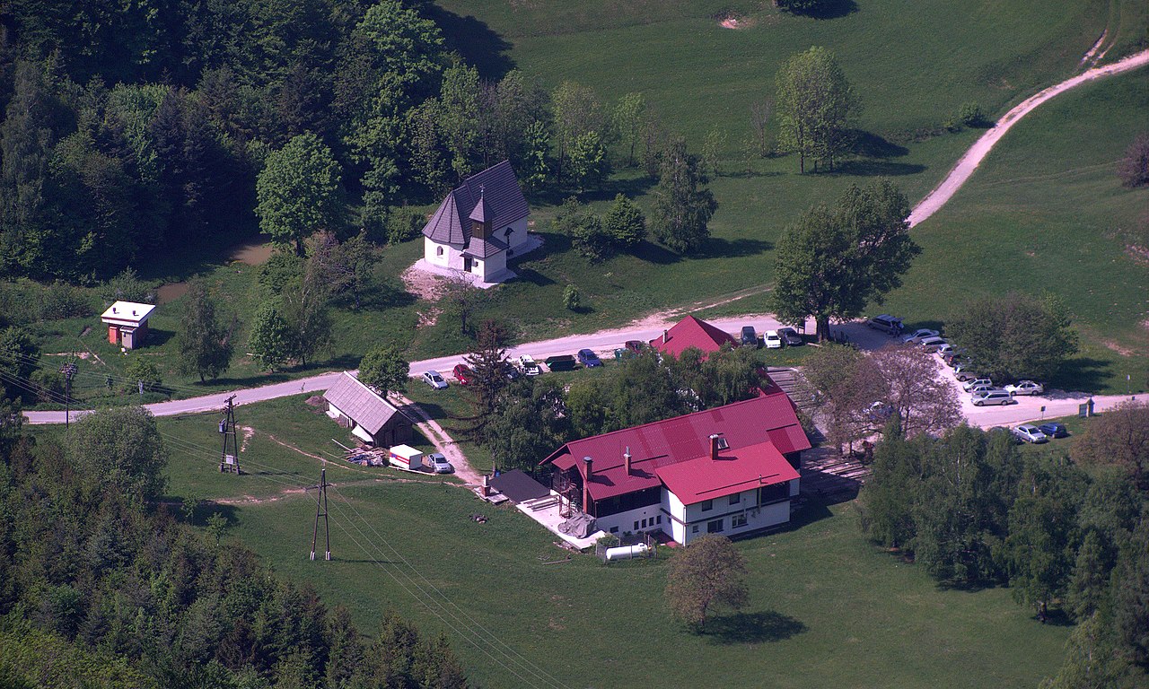
| Description | Pogled na Planinski dom in Cerkev sv. Miklavža z Boča |
| Date | |
| Source |
|
| Author | breki74 from Maribor, Slovenia |
| Camera location | | View this and other nearby images on: OpenStreetMap |
|---|
Licensing
[edit]

|
The usage of reproductions of the cultural monuments No. 3074 for commercial purposes is restricted by the Slovenian Cultural Heritage Protection Act, which requires a consensus of the owner of the monument for any use of image and name of the monument (article 44). Wikimedia Commons is not required to comply as it is hosted in the United States of America. Users who are citizens of Slovenia are warned that they are solely responsible for any possible violation of local laws. See our general disclaimer for more information. These restrictions are independent of the copyright status of the depicted work.
The definition of a cultural monument is the following (article 3): heritage, which has been statutorily protected as a monument or entered in the inventory of an authorised museum. As much as it concerns immovable cultural heritage, the national catalog is publicly accessible at gisportal.gov.si.
|
This file is licensed under the Creative Commons Attribution-Share Alike 2.0 Generic license.
- You are free:
- to share – to copy, distribute and transmit the work
- to remix – to adapt the work
- Under the following conditions:
- attribution – You must give appropriate credit, provide a link to the license, and indicate if changes were made. You may do so in any reasonable manner, but not in any way that suggests the licensor endorses you or your use.
- share alike – If you remix, transform, or build upon the material, you must distribute your contributions under the same or compatible license as the original.
| This image, originally posted to Flickr, was reviewed on 1 August 2012 by the administrator or reviewer File Upload Bot (Magnus Manske), who confirmed that it was available on Flickr under the stated license on that date. |
File history
Click on a date/time to view the file as it appeared at that time.
| Date/Time | Thumbnail | Dimensions | User | Comment | |
|---|---|---|---|---|---|
| current | 11:32, 1 August 2012 | | 3,292 × 1,975 (6.2 MB) | File Upload Bot (Magnus Manske) (talk | contribs) | Transferred from Flickr by User:Sporti using flickr2commons |
You cannot overwrite this file.
File usage on Commons
The following page uses this file:
File usage on other wikis
The following other wikis use this file:
- Usage on bs.wikipedia.org
- Usage on de.wikipedia.org
- Usage on sl.wikipedia.org
- Usage on sr.wikipedia.org
- Usage on www.wikidata.org