File:Plan thiers.png

Original file (843 × 582 pixels, file size: 260 KB, MIME type: image/png)
Captions
Captions
Summary
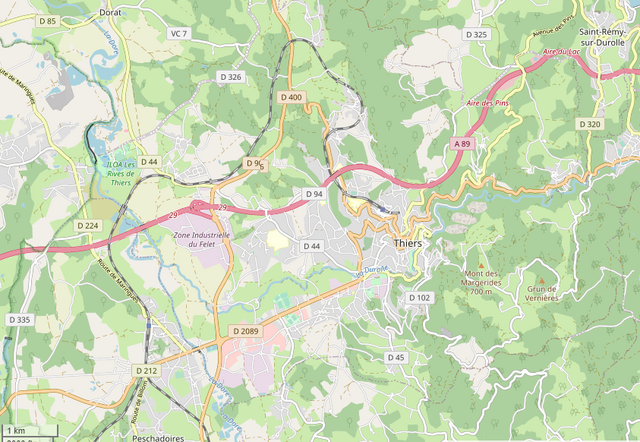
[edit]| Description |
Français : Plan général de la commune de Thiers |
|
| Date | ||
| Source | derived work, see author details | |
| Author |
|
_French_municipality_map.svg)
Licensing
[edit]
| This file is made available under the Creative Commons CC0 1.0 Universal Public Domain Dedication. | |
| The person who associated a work with this deed has dedicated the work to the public domain by waiving all of their rights to the work worldwide under copyright law, including all related and neighboring rights, to the extent allowed by law. You can copy, modify, distribute and perform the work, even for commercial purposes, all without asking permission.
|
File history
Click on a date/time to view the file as it appeared at that time.
| Date/Time | Thumbnail | Dimensions | User | Comment | |
|---|---|---|---|---|---|
| current | 13:38, 14 May 2020 | | 843 × 582 (260 KB) | Lethiernois (talk | contribs) | Uploaded a work by {{Map commune France credit}} from derived work, see author details with UploadWizard |
You cannot overwrite this file.
File usage on Commons
There are no pages that use this file.
File usage on other wikis
The following other wikis use this file:
- Usage on fr.wikipedia.org