File:Plan of Beula Pennsylvania.png
Jump to navigation
Jump to search
No higher resolution available.
Plan_of_Beula_Pennsylvania.png (398 × 512 pixels, file size: 144 KB, MIME type: image/png)
Captions
Captions
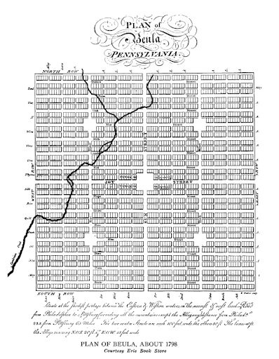
A map depicting the town plan of Beula, Pennsylvania from about 1798.
Summary
[edit]
| Description |
English: A map depicting the town plan of Beula, Pennsylvania from about 1798. |
| Date | circa 1798 |
| Source | Williams, Gwyn A. The Search for Beulah Land: The Welsh and the Atlantic Revolution. Holmes & Meier, 1980 |
| Author | Williams, Gwyn A. |
Licensing
[edit]
This work is in the public domain in the United States because it was published (or registered with the U.S. Copyright Office) before January 1, 1929.
Public domain works must be out of copyright in both the United States and in the source country of the work in order to be hosted on the Commons. If the work is not a U.S. work, the file must have an additional copyright tag indicating the copyright status in the source country.
Note: This tag should not be used for sound recordings. |
File history
Click on a date/time to view the file as it appeared at that time.
| Date/Time | Thumbnail | Dimensions | User | Comment | |
|---|---|---|---|---|---|
| current | 00:15, 9 January 2022 | | 398 × 512 (144 KB) | Oroeh (talk | contribs) | Uploaded a work by Williams, Gwyn A. from Williams, Gwyn A. The Search for Beulah Land: The Welsh and the Atlantic Revolution. Holmes & Meier, 1980 with UploadWizard |
You cannot overwrite this file.
File usage on Commons
The following page uses this file:
File usage on other wikis
The following other wikis use this file:
- Usage on en.wikipedia.org
- Usage on www.wikidata.org