File:Plan géométrique de Reconvilier 1800-1815.jpg
Jump to navigation
Jump to search
Size of this preview: 800 × 563 pixels. Other resolutions: 320 × 225 pixels | 640 × 451 pixels | 1,024 × 721 pixels | 1,280 × 901 pixels | 2,560 × 1,802 pixels | 5,998 × 4,223 pixels.
Original file (5,998 × 4,223 pixels, file size: 8.81 MB, MIME type: image/jpeg)
Captions
Captions
Add a one-line explanation of what this file represents
Summary
[edit]
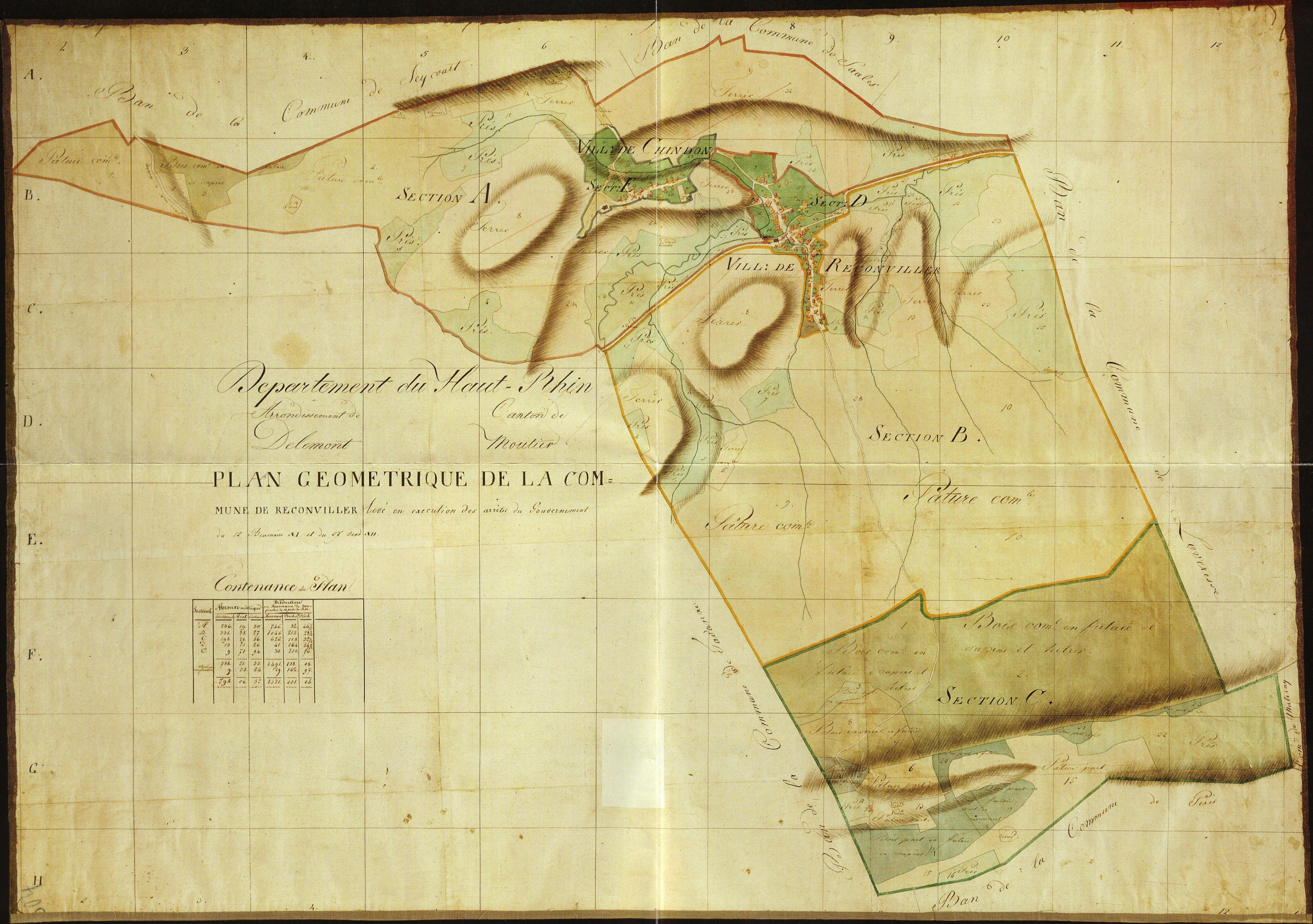
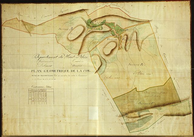
| Description | Plan géométrique de Reconviller sous l'occupation française (Département du Haut-Rhin) établi entre 1800 et 1815. Le plan mentionne « levé en exécution des arrêtés du Gouvernement du 12 Brumaire XI (3 novembre 1799) et du 27 Vend XII (18 octobre 1800)». |
| Date | between 1800 and 1815 |
| Source | Municipalité de Reconvilier |
| Author | Oblic |
Licensing
[edit]
|
This work is in the public domain in its country of origin and other countries and areas where the copyright term is the author's life plus 70 years or fewer. | |
| This file has been identified as being free of known restrictions under copyright law, including all related and neighboring rights. | |
File history
Click on a date/time to view the file as it appeared at that time.
| Date/Time | Thumbnail | Dimensions | User | Comment | |
|---|---|---|---|---|---|
| current | 15:39, 25 May 2008 | | 5,998 × 4,223 (8.81 MB) | Oblic (talk | contribs) | {{Information |Description=Plan géométrique de ''Reconviller'' sous l'occupation française (Département du Haut-Rhin) établi entre 1800 et 1815. Le plan mentionne « levé en exécution des arrêtés du Gouvernement du 12 Brumaire XI (3 novembre 1799 |
You cannot overwrite this file.
File usage on Commons
The following page uses this file:
File usage on other wikis
The following other wikis use this file:
- Usage on en.wikipedia.org
- Usage on fr.wikipedia.org