File:Plan du pont et de ses abords - btv1b53006770t.jpg
Jump to navigation
Jump to search

Size of this preview: 799 × 305 pixels. Other resolutions: 320 × 122 pixels | 640 × 244 pixels | 1,024 × 391 pixels | 1,280 × 489 pixels | 2,560 × 977 pixels | 15,244 × 5,820 pixels.
Original file (15,244 × 5,820 pixels, file size: 11.77 MB, MIME type: image/jpeg)
Captions
Captions
Add a one-line explanation of what this file represents
Summary
[edit]| Warning | The original file is very high-resolution. It might not load properly or could cause your browser to freeze when opened at full size. |
|---|
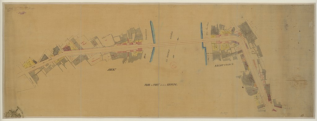
| Plan du pont et de ses abords
( |
|||||||||||||||||||||||||||
|---|---|---|---|---|---|---|---|---|---|---|---|---|---|---|---|---|---|---|---|---|---|---|---|---|---|---|---|
| Title |
Plan du pont et de ses abords |
||||||||||||||||||||||||||
| Description |
Français : Sujet : Brest -- Ponts
Appartient à l’ensemble documentaire : GMBrst001 Couverture : France – Bretagne – Finistère Langue : français Éditeur : [s.n.] |
||||||||||||||||||||||||||
| Date | 19th century | ||||||||||||||||||||||||||
| Dimensions | height: 38 cm (14.9 in); width: 114 cm (44.8 in) | ||||||||||||||||||||||||||
| Collection |
|
||||||||||||||||||||||||||
| References |
Français : Notice du catalogue : http://catalogue.bnf.fr/ark:/12148/cb407233328 |
||||||||||||||||||||||||||
| Source/Photographer |
Français : Bibliothèque nationale de France, GED-5231
Bibliothèque nationale de France |
||||||||||||||||||||||||||
| Permission (Reusing this file) |
|
||||||||||||||||||||||||||

File history
Click on a date/time to view the file as it appeared at that time.
| Date/Time | Thumbnail | Dimensions | User | Comment | |
|---|---|---|---|---|---|
| current | 01:14, 15 August 2022 | 15,244 × 5,820 (11.77 MB) | Gzen92Bot (talk | contribs) | Gallica btv1b53006770t |
You cannot overwrite this file.
File usage on Commons
The following 2 pages use this file:
Categories:
- 19th-century maps of Brest
- Old maps of Rade de Brest
- Pont National (Brest)
- Old street maps of Brest, France
- Rue de Siam (Brest, France)
- Rue des Marches (Brest)
- Rue de la Fontaine (Brest)
- Rue de Lagadec (Brest)
- Quai Jean Bart (Brest)
- Rue Ducouëdic (Brest)
- Rue du Petit Moulin (Brest)
- Rue Charonnière (Brest)
- Impasse des Sept Saints (Brest)
- Quai Tourville (Brest)