File:Plan de Bordeaux vers 1894 - extrait centré sur la rue Juraïque.png
Jump to navigation
Jump to search
Size of this preview: 619 × 600 pixels. Other resolutions: 248 × 240 pixels | 495 × 480 pixels | 902 × 874 pixels.
Original file (902 × 874 pixels, file size: 1.36 MB, MIME type: image/png)
Captions
Captions
Add a one-line explanation of what this file represents
Summary
[edit]
| Description |
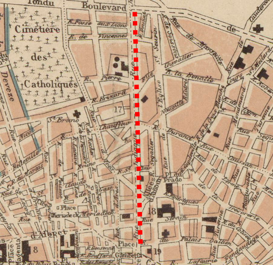
Français : Tracé de la rue Judaïque actuelle, de la place Gambetta au boulevard de Caudéran (actuel boulevard du président Wilson) |
| Date | |
| Source | Source gallica.bnf.fr / Bibliothèque nationale de France |
| Author | A. Fayard et fils (Paris) |
| Camera location | | View this and other nearby images on: OpenStreetMap |
|---|
Licensing
[edit]
|
This work is in the public domain in its country of origin and other countries and areas where the copyright term is the author's life plus 70 years or fewer. This work is in the public domain in the United States because it was published (or registered with the U.S. Copyright Office) before January 1, 1929. | |
| This file has been identified as being free of known restrictions under copyright law, including all related and neighboring rights. | |
File history
Click on a date/time to view the file as it appeared at that time.
| Date/Time | Thumbnail | Dimensions | User | Comment | |
|---|---|---|---|---|---|
| current | 11:55, 13 August 2020 | | 902 × 874 (1.36 MB) | Thibdrev (talk | contribs) | Uploaded a work by A. Fayard et fils (Paris) from https://gallica.bnf.fr/ark:/12148/btv1b8441016b Source gallica.bnf.fr / Bibliothèque nationale de France with UploadWizard |
You cannot overwrite this file.
File usage on Commons
There are no pages that use this file.