File:Plan de Besançon 1786.jpg
Jump to navigation
Jump to search

Size of this preview: 800 × 576 pixels. Other resolutions: 320 × 230 pixels | 640 × 460 pixels | 1,024 × 737 pixels | 1,280 × 921 pixels | 2,560 × 1,842 pixels | 9,718 × 6,992 pixels.
Original file (9,718 × 6,992 pixels, file size: 19 MB, MIME type: image/jpeg)
Captions
Captions
Add a one-line explanation of what this file represents
Summary
[edit]
| Title |
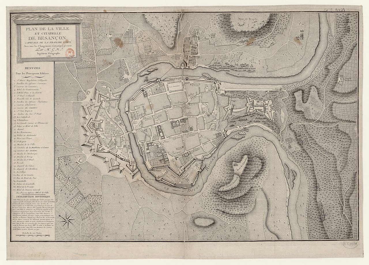
Français : Plan de la Ville et Citadelle de Besançon, Capitalle de la Franche-Comté. Avec tous les Changements faits jusqu'à présent / Par Monsieur GHJ Ingénieur Géographe |
||||
| Date | |||||
| Source |
|
||||
| Creator |
GHJ |
||||
| Permission (Reusing this file) |
|
||||
| Geotemporal data | |||||
| Date depicted | |||||
| Map location | Besançon | ||||
| Georeferencing | If inappropriate please set warp_status = skip to hide. | ||||
| Bibliographic data | |||||
| Language | French | ||||
Licensing
[edit]
|
This work is in the public domain in its country of origin and other countries and areas where the copyright term is the author's life plus 100 years or fewer. | |
| This file has been identified as being free of known restrictions under copyright law, including all related and neighboring rights. | |
File history
Click on a date/time to view the file as it appeared at that time.
| Date/Time | Thumbnail | Dimensions | User | Comment | |
|---|---|---|---|---|---|
| current | 22:12, 15 December 2019 | | 9,718 × 6,992 (19 MB) | Arflhn (talk | contribs) | {{Information |description ={{fr|1=sdfdsfdsffdsfsd}} |date =sdfdsfdsffdsfsd |source =sdfdsfdsffdsfsd |author =sdfdsfdsffdsfsd }} |
You cannot overwrite this file.
File usage on Commons
There are no pages that use this file.