File:Plan Metro de Rouen.png
Jump to navigation
Jump to search

Size of this preview: 525 × 600 pixels. Other resolutions: 210 × 240 pixels | 532 × 608 pixels.
Original file (532 × 608 pixels, file size: 90 KB, MIME type: image/png)
Captions
Captions
Add a one-line explanation of what this file represents
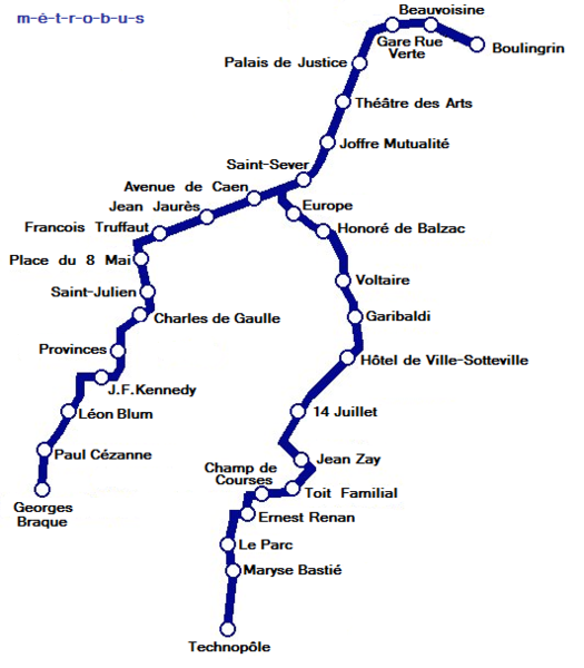
| Description | Map of Tramway de Rouen, Normandie. |
| Date | (UTC) |
| Source | |
| Author |
|
| This is a retouched picture, which means that it has been digitally altered from its original version. Modifications: /. The original can be viewed here: Tramway de Rouen - Métrobus plan.png:
|

|
This transport map image could be re-created using vector graphics as an SVG file. This has several advantages; see Commons:Media for cleanup for more information. If an SVG form of this image is available, please upload it and afterwards replace this template with
{{vector version available|new image name}}.
It is recommended to name the SVG file “Plan Metro de Rouen.svg”—then the template Vector version available (or Vva) does not need the new image name parameter. |
This file is licensed under the Creative Commons Attribution 3.0 Unported license.
- You are free:
- to share – to copy, distribute and transmit the work
- to remix – to adapt the work
- Under the following conditions:
- attribution – You must give appropriate credit, provide a link to the license, and indicate if changes were made. You may do so in any reasonable manner, but not in any way that suggests the licensor endorses you or your use.
Original upload log
[edit]
This image is a derivative work of the following images:
- Image:Tramway_de_Rouen_-_Métrobus_plan.png licensed with Cc-by-2.5, GFDL
- 2006-06-11T11:38:51Z Captain Scarlet 450x600 (120443 Bytes)
- 2006-06-11T11:26:21Z Captain Scarlet 450x600 (188429 Bytes) {{User:Captain Scarlet/information| |Description= Map of Tramway de Rouen, Normandie. |Source= http://www.vlaki.com |Date= 11th June 2006 |Author= Gregory Deryckère |Permission= Attribution-ShareAlike 2.5 |other_versions= }
Uploaded with derivativeFX
File history
Click on a date/time to view the file as it appeared at that time.
| Date/Time | Thumbnail | Dimensions | User | Comment | |
|---|---|---|---|---|---|
| current | 18:51, 18 June 2008 | | 532 × 608 (90 KB) | Bluree (talk | contribs) | {{Information |Description=Map of Tramway de Rouen, Normandie. |Source=*Image:Tramway_de_Rouen_-_Métrobus_plan.png |Date=2008-06-18 18:50 (UTC) |Author=*derivative work: ~~~ *Image:Tramway_de_Rouen_-_Métrobus_plan.png: Gregory Deryckère |Pe |
You cannot overwrite this file.
File usage on Commons
There are no pages that use this file.
File usage on other wikis
The following other wikis use this file:
- Usage on fr.wikipedia.org
- Usage on pl.wikipedia.org
- Usage on ru.wikipedia.org