File:Plan-reseau-Morbihan.gif
Jump to navigation
Jump to search

Size of this preview: 800 × 579 pixels. Other resolutions: 320 × 232 pixels | 640 × 463 pixels | 1,024 × 741 pixels | 1,280 × 927 pixels | 1,833 × 1,327 pixels.
Original file (1,833 × 1,327 pixels, file size: 1.04 MB, MIME type: image/gif)
Captions
Captions
Add a one-line explanation of what this file represents
Summary
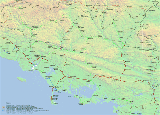
[edit]| Description | Plan du réseau ferroviaire morbihanais à son apogée | ||
| Date | |||
| Source | Own work | ||
| Author | Ludovic Claudel | ||
| Permission (Reusing this file) |
I, the copyright holder of this work, hereby publish it under the following licenses:
This file is licensed under the Creative Commons Attribution 3.0 Unported license.
You may select the license of your choice. |

Licensing
[edit]
This file is licensed under the Creative Commons Attribution 3.0 Unported license.
- You are free:
- to share – to copy, distribute and transmit the work
- to remix – to adapt the work
- Under the following conditions:
- attribution – You must give appropriate credit, provide a link to the license, and indicate if changes were made. You may do so in any reasonable manner, but not in any way that suggests the licensor endorses you or your use.
File history
Click on a date/time to view the file as it appeared at that time.
| Date/Time | Thumbnail | Dimensions | User | Comment | |
|---|---|---|---|---|---|
| current | 15:58, 29 March 2008 | | 1,833 × 1,327 (1.04 MB) | Sardon (talk | contribs) | {{Information| |Description= Plan du réseau ferroviaire morbihanais à son apogée |Source=Own work |Date=2008-02-26 |Author=Ludovic Claudel |Permission={{self|GFDL|cc-by-3.0}} |other_versions= }} Category:Local railway maps of France [[Category:Fil |
You cannot overwrite this file.
File usage on Commons
The following 2 pages use this file:
File usage on other wikis
The following other wikis use this file:
- Usage on de.wikipedia.org
- Usage on en.wikipedia.org
- Usage on fr.wikipedia.org
- Usage on www.wikidata.org