File:Placa en homenaje a los caídos en la guerra de África (4 de julio de 2015, Mora).jpg
Jump to navigation
Jump to search

Size of this preview: 800 × 450 pixels. Other resolutions: 320 × 180 pixels | 640 × 360 pixels | 1,024 × 576 pixels | 1,280 × 720 pixels | 2,560 × 1,440 pixels | 3,840 × 2,160 pixels.
Original file (3,840 × 2,160 pixels, file size: 3.58 MB, MIME type: image/jpeg)
Captions
Captions
Add a one-line explanation of what this file represents
Summary
[edit].jpg&action=edit§ion=1)
| Description |
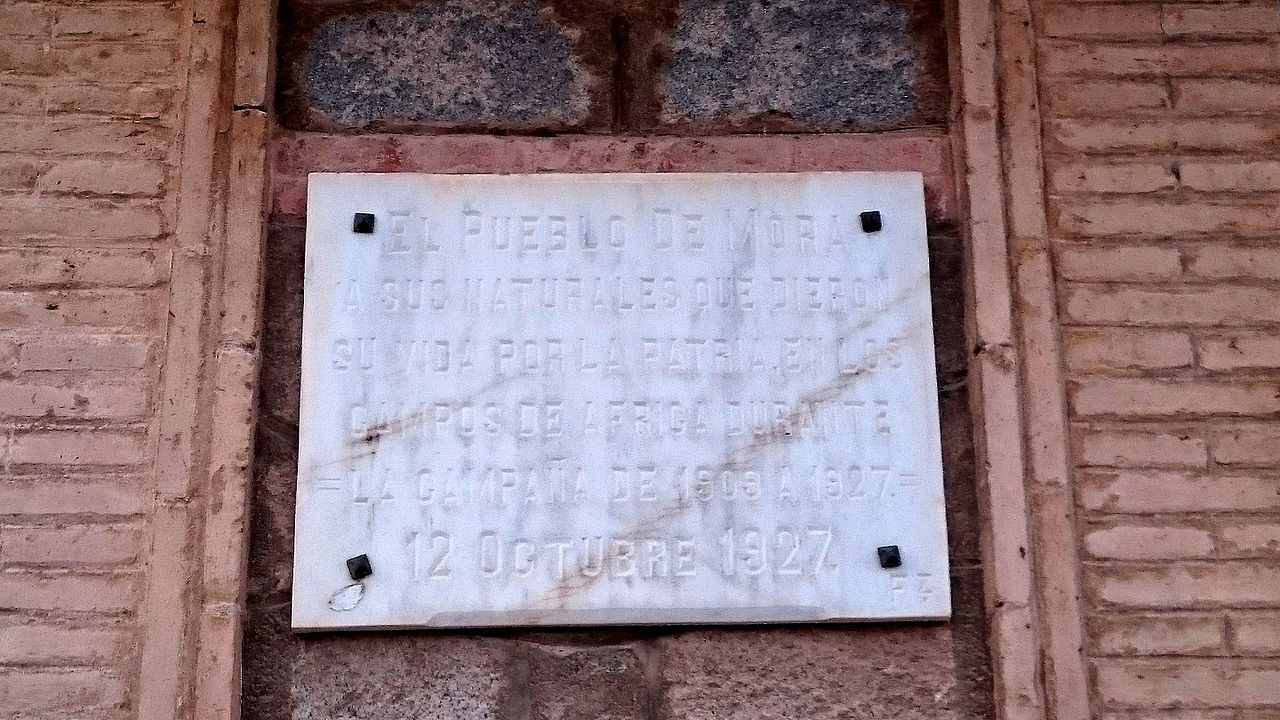
Español: El pueblo de Mora
a sus naturales que dieron su vida por la patria en los campos de África durante la campaña de 1909 a 1927 12 Octubre 1927 |
| Date | |
| Source | Own work |
| Author | Discasto |
| Camera location | | View this and other nearby images on: OpenStreetMap |
|---|
.jpg¶ms=039.684371_N_-003.772852_E_globe:Earth_type:camera__&language=en)
This image of a so far not photographed municipality in Spain was uploaded with help of the Wikiproject No municipality in Spain without a photograph organised by Wikimedia Spain.
|
Licensing
[edit].jpg&action=edit§ion=2)
I, the copyright holder of this work, hereby publish it under the following license:
This file is licensed under the Creative Commons Attribution-Share Alike 4.0 International license.
- You are free:
- to share – to copy, distribute and transmit the work
- to remix – to adapt the work
- Under the following conditions:
- attribution – You must give appropriate credit, provide a link to the license, and indicate if changes were made. You may do so in any reasonable manner, but not in any way that suggests the licensor endorses you or your use.
- share alike – If you remix, transform, or build upon the material, you must distribute your contributions under the same or compatible license as the original.
File history
Click on a date/time to view the file as it appeared at that time.
| Date/Time | Thumbnail | Dimensions | User | Comment | |
|---|---|---|---|---|---|
| current | 14:48, 12 October 2016 | | 3,840 × 2,160 (3.58 MB) | Discasto (talk | contribs) | User created page with UploadWizard |
You cannot overwrite this file.
File usage on Commons
There are no pages that use this file.
.jpg&oldid=850065394)