File:Pinus mugo Murnau.jpg
Jump to navigation
Jump to search

Size of this preview: 800 × 600 pixels. Other resolutions: 320 × 240 pixels | 640 × 480 pixels | 1,024 × 768 pixels | 1,280 × 960 pixels | 2,592 × 1,944 pixels.
Original file (2,592 × 1,944 pixels, file size: 2.11 MB, MIME type: image/jpeg)
Captions
Captions
Add a one-line explanation of what this file represents
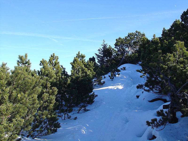
| Description | Pinus mugo, Schäftlarn, Herzogstand, Murnau, Urfeld, Bavaria 47°36'48"N 11°18'36"E, 1700m altitude. |
| Date | |
| Source | 2005-01-16 Schäftlarn, Herzogstand, Murnau 022 |
| Author | Allie_Caulfield from Germany |
| Camera location | | View this and other nearby images on: OpenStreetMap |
|---|
Licensing
[edit]
This file is licensed under the Creative Commons Attribution 2.0 Generic license.
- You are free:
- to share – to copy, distribute and transmit the work
- to remix – to adapt the work
- Under the following conditions:
- attribution – You must give appropriate credit, provide a link to the license, and indicate if changes were made. You may do so in any reasonable manner, but not in any way that suggests the licensor endorses you or your use.
| This image was originally posted to Flickr by Allie_Caulfield at https://www.flickr.com/photos/28577026@N02/2766612261. It was reviewed on 26 December 2009 by FlickreviewR and was confirmed to be licensed under the terms of the cc-by-2.0. |
File history
Click on a date/time to view the file as it appeared at that time.
| Date/Time | Thumbnail | Dimensions | User | Comment | |
|---|---|---|---|---|---|
| current | 21:29, 25 December 2009 | | 2,592 × 1,944 (2.11 MB) | MPF (talk | contribs) | {{Information |Description=''Pinus mugo'', Schäftlarn, Herzogstand, Murnau, Urfeld, Bavaria 47°36'48"N 11°18'36"E, 1700m altitude. |Source=[http://www.flickr.com/photos/28577026@N02/2766612261/ 2005-01-16 Schäftlarn, Herzogstand, Murnau 022] |Date |
You cannot overwrite this file.
File usage on Commons
The following page uses this file:
File usage on other wikis
The following other wikis use this file:
- Usage on it.wiktionary.org
- Usage on lld.wikipedia.org
- Usage on lt.wikipedia.org
- Usage on nl.wikipedia.org