File:Pino nero 2.jpg
Jump to navigation
Jump to search
Size of this preview: 450 × 600 pixels. Other resolutions: 180 × 240 pixels | 360 × 480 pixels | 576 × 768 pixels | 768 × 1,024 pixels | 1,536 × 2,048 pixels | 3,120 × 4,160 pixels.
Original file (3,120 × 4,160 pixels, file size: 6.34 MB, MIME type: image/jpeg)
Captions
Captions
Add a one-line explanation of what this file represents
Summary
[edit]
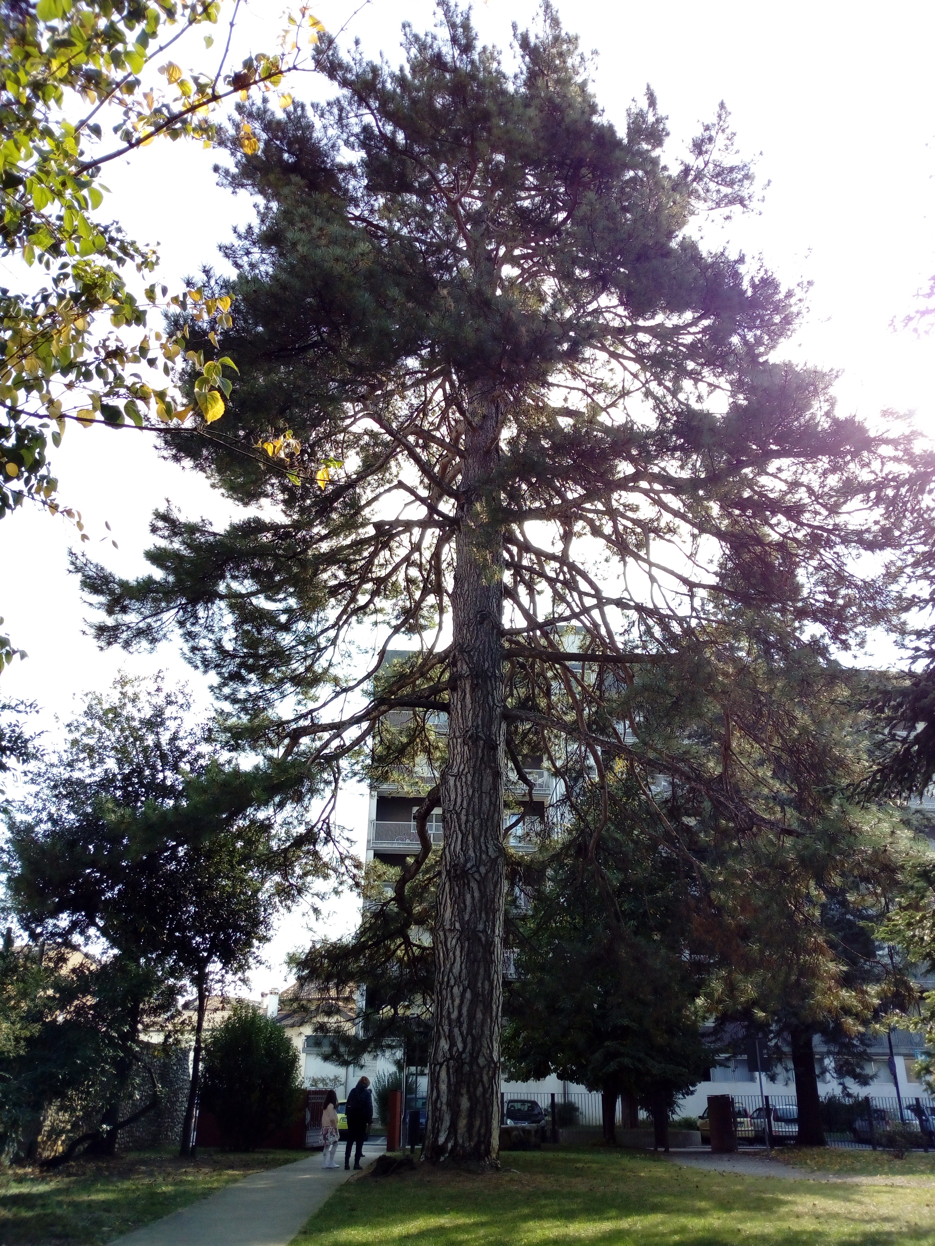
| Description | pianta monumentale |
| Date | |
| Source | Own work |
| Author | Cascafico |
| Camera location | | View this and other nearby images on: OpenStreetMap |
|---|
Licensing
[edit]
I, the copyright holder of this work, hereby publish it under the following license:
| This file is made available under the Creative Commons CC0 1.0 Universal Public Domain Dedication. | |
| The person who associated a work with this deed has dedicated the work to the public domain by waiving all of their rights to the work worldwide under copyright law, including all related and neighboring rights, to the extent allowed by law. You can copy, modify, distribute and perform the work, even for commercial purposes, all without asking permission.
|
| This file was uploaded via Mobile Android App (Commons mobile app) 2.8.5. |
File history
Click on a date/time to view the file as it appeared at that time.
| Date/Time | Thumbnail | Dimensions | User | Comment | |
|---|---|---|---|---|---|
| current | 18:46, 20 November 2018 | | 3,120 × 4,160 (6.34 MB) | Cascafico (talk | contribs) | Uploaded using Commons Mobile App |
You cannot overwrite this file.
File usage on Commons
The following page uses this file:
File usage on other wikis
The following other wikis use this file:
- Usage on da.wikipedia.org
- Usage on it.wikipedia.org
- Progetto:Wiki Loves Monuments 2018/Monumenti/Friuli-Venezia Giulia/Provincia di Udine
- Progetto:Wiki Loves Monuments 2019/Monumenti/Friuli-Venezia Giulia/Provincia di Udine
- Progetto:Wiki Loves Monuments 2020/Monumenti/Friuli-Venezia Giulia/Provincia di Udine
- Progetto:Wiki Loves Monuments 2022/Monumenti/Friuli-Venezia Giulia/Ente di decentramento regionale di Udine
- Usage on www.wikidata.org