File:Pilisszentlászló. Faluközpont, 1908 - Df bs 0009877.jpg
Jump to navigation
Jump to search

Size of this preview: 800 × 531 pixels. Other resolutions: 320 × 212 pixels | 640 × 424 pixels | 1,024 × 679 pixels | 1,280 × 849 pixels | 1,600 × 1,061 pixels.
Original file (1,600 × 1,061 pixels, file size: 728 KB, MIME type: image/jpeg)
Captions
Captions
Pilisszentlászló, Hungary (1908)
Summary
[edit]| Pilisszentlászló. Kedvenc kiránduló hely, turista kirándulások góczpontja
( |
|||||||||||||||||||||||||||
|---|---|---|---|---|---|---|---|---|---|---|---|---|---|---|---|---|---|---|---|---|---|---|---|---|---|---|---|
| Author |
Unknown author / Brück & Sohn |
||||||||||||||||||||||||||
| Title |
Pilisszentlászló. Kedvenc kiránduló hely, turista kirándulások góczpontja |
||||||||||||||||||||||||||
| Description |
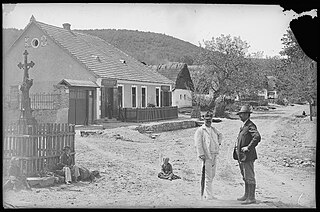
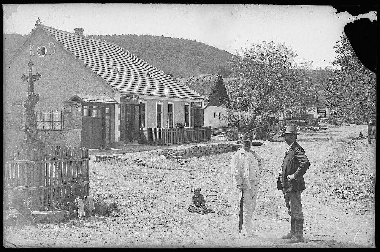
English: The center of Pilisszentlászló village in 1908 with the restaurant and grocery shop of Dávid Kohn. The restaurant (named "A turistához") was popular among day-trippers from Budapest in the early 20th century. The building later served as an ÁFÉSZ shop, it was demolished in 1978. Traditional peasant houses along the main street, at the time called Dedina (present-day Béke utca), are visible behind. The center of the village is a crossroad with a cross in the middle.
Magyar: Pilisszentlászló központja 1908-ban; középen Kohn Dávid vegyeskereskedése és vendéglője ("A turistához"), amely a 20. század elején kedvelt volt a budapesti kirándulók körében. Az épületben később ÁFÉSZ bolt volt, 1978-ban bontották le. Mögötte a Dedinának nevezett főutca (ma Béke utca) parasztházai látszanak. A falu központja egy útkereszteződés, a közepén kereszttel. |
||||||||||||||||||||||||||
| Date | 1908 | ||||||||||||||||||||||||||
| Collection |
|
||||||||||||||||||||||||||
| Source | Deutsche Fotothek [1] | ||||||||||||||||||||||||||
| Other versions |
Postcard 09877 |
||||||||||||||||||||||||||

| Camera location | | View this and other nearby images on: OpenStreetMap |
|---|
Licensing
[edit]
The copyright of this image has expired in the European Union because it was published more than 70 years ago without a public claim of authorship (anonymous or pseudonymous), and no subsequent claim of authorship was made in the 70 years following its first publication.
|
 | |
To use this template, the image must meet both of the following two conditions:
Images that lack either of these two conditions should not use this template. Reasonable evidence must be presented that the author's name (e.g., the original photographer, portrait painter) was not published with a claim of copyright in conjunction with the image within 70 years of its original publication. Works which had not entered Public Domain in their country in 1996 that were uploaded before 1 March 2012 should be marked additionally with {{Not-PD-US-URAA}}. Note: In some countries anonymous works are copyrighted until 70 years after the death of the author if the author's identity became public in any way during the original term. In Germany this applies to certain works published before July 1, 1995; see Übergangsrecht.
|
File history
Click on a date/time to view the file as it appeared at that time.
| Date/Time | Thumbnail | Dimensions | User | Comment | |
|---|---|---|---|---|---|
| current | 22:23, 8 May 2024 | | 1,600 × 1,061 (728 KB) | Zello (talk | contribs) | Uploaded a work by Unknown author / Brück & Sohn from Deutsche Fotothek [https://www.deutschefotothek.de/documents/obj/71831638/df_bs_0009877] with UploadWizard |
You cannot overwrite this file.
File usage on Commons
The following 4 pages use this file: