File:PikiWiki Israel 78085 david river.jpg
Jump to navigation
Jump to search

Size of this preview: 800 × 600 pixels. Other resolutions: 320 × 240 pixels | 640 × 480 pixels | 1,024 × 768 pixels | 1,280 × 960 pixels | 2,560 × 1,920 pixels | 4,032 × 3,024 pixels.
Original file (4,032 × 3,024 pixels, file size: 4.2 MB, MIME type: image/jpeg)
Captions
Captions
Add a one-line explanation of what this file represents
| Description |
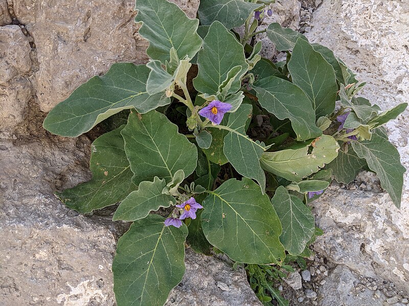
English: David river עברית: נחל דוד
Original Image Name: Piciwiki_israel_78085_נחל דוד 1jpg Notes: צולם במסגרת טיול הכנה של הפודקאסט quotעל הדרךquot פודקאסט למשפחה המטיילת של בית אבי חי Location: נחל דוד |
| Date | |
| Source | YOTVAT FIREAIZENWEIL via the PikiWiki - Israel free image collection project |
| Author | יוטבת פייראיזןוייל |
| Permission (Reusing this file) |
This file is licensed under the Creative Commons Attribution 2.5 Generic license. Attribution: Yotvat FireaizenWeil For Beit Avi Chai Pikiwiki Israel
|
| Camera location | | View this and other nearby images on: OpenStreetMap |
|---|

|
This file has been submitted through the Israeli Pikiwiki project and uploaded here automatically.
The project is cooperation between the Israel Internet Association and Wikimedia Israel in an effort to promote the concept of free content on the Web, by creating an image collection of digital-format, good quality photographs, documenting events relating to the history of Israel, or depicting places of distinction in Israel and the Middle East. The Pikiwiki Project is managed from 2021 by the "Heritage Stones" group.
Please consider notifying the project before renaming or deleting this file. Further information about the project can be found on the commons-l mailing list.
|
File history
Click on a date/time to view the file as it appeared at that time.
| Date/Time | Thumbnail | Dimensions | User | Comment | |
|---|---|---|---|---|---|
| current | 01:25, 31 May 2021 | | 4,032 × 3,024 (4.2 MB) | Pikiwikisrael (talk | contribs) |
You cannot overwrite this file.
File usage on Commons
The following page uses this file: