File:PikiWiki Israel 20532 Geography of Israel.jpg
Jump to navigation
Jump to search

Size of this preview: 347 × 599 pixels. Other resolutions: 139 × 240 pixels | 278 × 480 pixels | 764 × 1,318 pixels.
Original file (764 × 1,318 pixels, file size: 408 KB, MIME type: image/jpeg)
Captions
Captions
Add a one-line explanation of what this file represents
| Description |
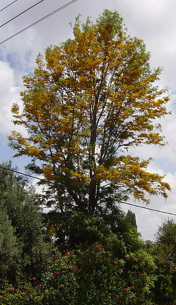
English: Geography of Israel, Grevillea robusta עברית: עצי הגרבילאה איפיינו את צופית במשך עשרות שנים. הם היו נטועים לאורך שני הרחובות הראשיים. העניקו מסתור מהחום ומהשמש להלך.
רחוב השדרה , אחד משני הרחובות הראשיים של המושב נקרא כך על שם שדרת הגרבילאה. הם נעקרו בשנת 1995 עם פיתוח המושב, Original Image Name:פריחת הגרבילאה , Location:חצר משפחת דנציגר במושב |
| Date | circa 2010 |
| Source | Tsofit archive via the PikiWiki - Israel free image collection project |
| Author | ארכיון מושב צופית |
| Permission (Reusing this file) |
This file is licensed under the Creative Commons Attribution 2.5 Generic license. Attribution: ארכיון מושב צופית
|

|
This file has been submitted through the Israeli Pikiwiki project and uploaded here automatically.
The project is cooperation between the Israel Internet Association and Wikimedia Israel in an effort to promote the concept of free content on the Web, by creating an image collection of digital-format, good quality photographs, documenting events relating to the history of Israel, or depicting places of distinction in Israel and the Middle East. The Pikiwiki Project is managed from 2021 by the "Heritage Stones" group.
Please consider notifying the project before renaming or deleting this file. Further information about the project can be found on the commons-l mailing list.
|
File history
Click on a date/time to view the file as it appeared at that time.
| Date/Time | Thumbnail | Dimensions | User | Comment | |
|---|---|---|---|---|---|
| current | 12:00, 29 June 2012 | | 764 × 1,318 (408 KB) | Pikiwikisrael (talk | contribs) | {{Information |Description={{en|Geography of Israel}} {{he|עצי הגרבילאה איפיינו את צופית במשך עשרות שנים. הם היו נטועים לאורך שני הרחובות הראשיים. העניקו מסתור מהחו... |
You cannot overwrite this file.
File usage on Commons
There are no pages that use this file.