File:Piaseczno (gmina) location map.png
Jump to navigation
Jump to search

Size of this preview: 757 × 599 pixels. Other resolutions: 303 × 240 pixels | 606 × 480 pixels | 990 × 784 pixels.
Original file (990 × 784 pixels, file size: 308 KB, MIME type: image/png)
Captions
Captions
Add a one-line explanation of what this file represents
| Description |
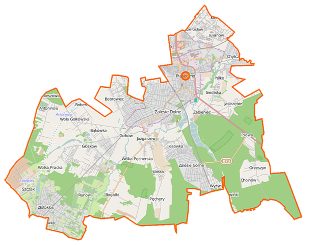
Polski: Mapa gminy Piaseczno, Polska
English: Map of Gmina Piaseczno, Poland |
|||||||||
| Date | ||||||||||
| Source | You may find a page on the OpenStreetMap wiki page for Piaseczno (gmina) | |||||||||
| Creator |
OpenStreetMap contributors OpenStreetMap contributors |
|||||||||
| Permission (Reusing this file) |
OpenStreetMap data is available under the Open Database License (details). Map tiles are licensed under the Creative Commons Attribution-ShareAlike 2.0 license (CC-BY-SA 2.0).
This file is licensed under the Creative Commons Attribution-Share Alike 2.0 Generic license.
|
|||||||||
| Geotemporal data | ||||||||||
| Bounding box |
|
|||||||||
| Georeferencing | If inappropriate please set warp_status = skip to hide. | |||||||||
File history
Click on a date/time to view the file as it appeared at that time.
| Date/Time | Thumbnail | Dimensions | User | Comment | |
|---|---|---|---|---|---|
| current | 12:03, 17 September 2014 | | 990 × 784 (308 KB) | VanWiel (talk | contribs) | {{OpenStreetMap | name = Piaseczno (gmina) | location = Piaseczno (gmina) | description = {{pl|Mapa gminy Piaseczno, Polska}} {{en|Map of Gmina Piaseczno, Poland}} | top = 52.1158 | left = 20.8634... |
You cannot overwrite this file.
File usage on Commons
There are no pages that use this file.
File usage on other wikis
The following other wikis use this file:
- Usage on de.wikipedia.org
- Usage on fr.wikipedia.org
- Usage on nl.wikipedia.org
- Usage on pl.wikipedia.org
- Zalesie Górne
- Piaseczno
- Piaseczno (gmina)
- Katastrofa rządowego Mi-8 pod Piasecznem
- Baszkówka
- Bąkówka
- Bogatki
- Chyliczki (powiat piaseczyński)
- Głosków-Letnisko
- Gołków
- Henryków-Urocze
- Jazgarzew
- Jesówka
- Józefosław
- Łbiska
- Orzeszyn
- Pęchery (wieś w województwie mazowieckim)
- Robercin
- Runów (wieś w województwie mazowieckim)
- Szczaki
- Wola Gołkowska
- Wólka Kozodawska
- Wólka Pęcherska
- Wólka Pracka
- Złotokłos
- Bobrowiec (województwo mazowieckie)
- Chojnów (województwo mazowieckie)
- Grochowa (województwo mazowieckie)
- Jastrzębie (województwo mazowieckie)
- Mieszkowo (województwo mazowieckie)
- Siedliska (województwo mazowieckie)
- Antoninów (powiat piaseczyński)
- Chylice (powiat piaseczyński)
- Głosków (powiat piaseczyński)
- Julianów (gmina Piaseczno)
- Pilawa (wieś w powiecie piaseczyńskim)
- Żabieniec (powiat piaseczyński)
- Kamionka (gmina Piaseczno)
- Piaseczno (stacja kolejowa)
- Rezerwat przyrody Uroczysko Stephana
- Polkolor
- Lamina
- Zalesie Górne (przystanek kolejowy)
- Cmentarz Komunalny Południowy w Warszawie
- Nowinki (powiat piaseczyński)
- Kuleszówka
- Zespół Szkół Nr 1 w Piasecznie
View more global usage of this file.
_location_map.png)
_location_map.png&oldid=519988351)