File:Pianura romagnola.png
Jump to navigation
Jump to search

Size of this preview: 540 × 600 pixels. Other resolutions: 216 × 240 pixels | 432 × 480 pixels | 691 × 768 pixels | 922 × 1,024 pixels | 1,843 × 2,048 pixels | 10,000 × 11,111 pixels.
Original file (10,000 × 11,111 pixels, file size: 4.11 MB, MIME type: image/png)
Captions
Captions
Add a one-line explanation of what this file represents
Summary
[edit]
| Warning | The original file is very high-resolution. It might not load properly or could cause your browser to freeze when opened at full size. |
|---|
| Description |
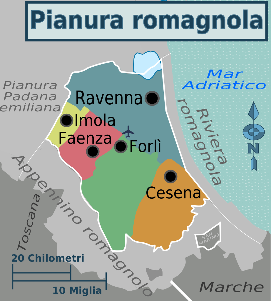
Italiano: mappa della pianura romagnola per it wikivoyage |
| Date | |
| Source |
This file was derived from: Map of Emilia-Romagna IT Voy.png: |
| Author |
|
Licensing
[edit]
I, the copyright holder of this work, hereby publish it under the following license:
This file is licensed under the Creative Commons Attribution-Share Alike 3.0 Unported license.
- You are free:
- to share – to copy, distribute and transmit the work
- to remix – to adapt the work
- Under the following conditions:
- attribution – You must give appropriate credit, provide a link to the license, and indicate if changes were made. You may do so in any reasonable manner, but not in any way that suggests the licensor endorses you or your use.
- share alike – If you remix, transform, or build upon the material, you must distribute your contributions under the same or compatible license as the original.
Original upload log
[edit]
This image is a derivative work of the following images:
- File:Map_of_Emilia-Romagna_IT_Voy.png licensed with Cc-by-sa-3.0
- 2014-03-17T16:27:17Z Lkcl it 26778x14169 (11149785 Bytes) white boundaries and san marino
- 2014-03-17T13:59:06Z Lkcl it 26778x14169 (11175588 Bytes) regions boundaries, mar tirreno, move some labels
- 2014-03-16T17:29:53Z Lkcl it 26778x14169 (9782337 Bytes) labels
- 2014-03-16T11:15:44Z Lkcl it 26778x14169 (9154323 Bytes) added some labels and colors
- 2014-03-16T08:59:03Z Lkcl it 48926x25888 (14577982 Bytes) User created page with UploadWizard
Uploaded with derivativeFX
File history
Click on a date/time to view the file as it appeared at that time.
| Date/Time | Thumbnail | Dimensions | User | Comment | |
|---|---|---|---|---|---|
| current | 08:45, 21 March 2014 | | 10,000 × 11,111 (4.11 MB) | Lkcl it (talk | contribs) | some changes as request on https://it.wikivoyage.org/wiki/Discussione:Emilia-Romagna |
| 19:15, 20 March 2014 |  | 10,000 × 11,111 (4.04 MB) | Lkcl it (talk | contribs) | little changes | |
| 19:07, 18 March 2014 |  | 10,000 × 11,111 (3.89 MB) | Lkcl it (talk | contribs) | added imolese | |
| 15:27, 18 March 2014 |  | 10,000 × 11,111 (3.76 MB) | Lkcl it (talk | contribs) | == {{int:filedesc}} == {{Information |Description={{it|1=mappa della pianura romagnola per it wikivoyage}} |date=2014-03-16 09:58:11 |Source={{Derived from|Map_of_Emilia-Romagna_IT_Voy.png|display=50}} |Date=2014-03-18 15:23 (UTC) |Author=*[[:File:Map_... |
You cannot overwrite this file.
File usage on Commons
The following page uses this file:
File usage on other wikis
The following other wikis use this file:
- Usage on it.wikivoyage.org