File:Phú Danh-H'ra-Mang Yang-Gia Lai.jpg
Jump to navigation
Jump to search
Size of this preview: 800 × 452 pixels. Other resolutions: 320 × 181 pixels | 640 × 361 pixels | 1,024 × 578 pixels | 1,280 × 723 pixels | 2,976 × 1,680 pixels.
Original file (2,976 × 1,680 pixels, file size: 3.54 MB, MIME type: image/jpeg)
Captions
Captions
Add a one-line explanation of what this file represents
Summary
[edit]
| Description |
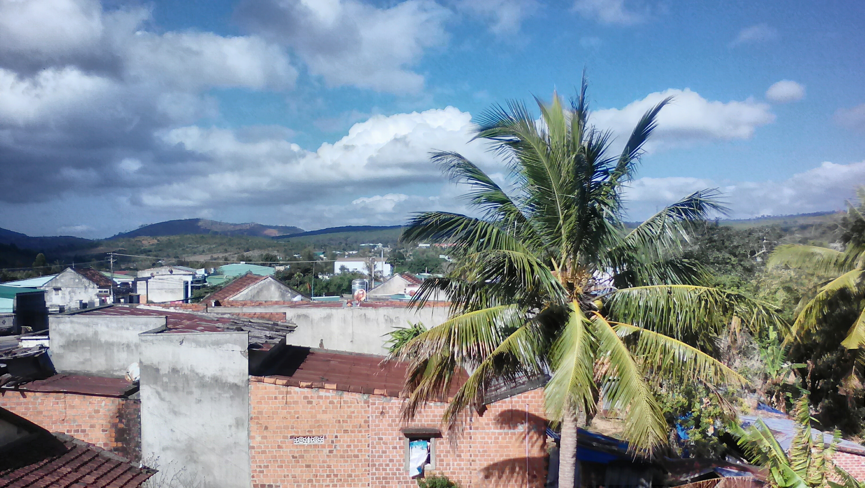
Tiếng Việt: Ảnh chụp 1 góc thôn Phú Danh, xã H'ra, huyện Mang Yang, Gia Lai |
| Date | Taken on 12 February 2019, 08:59:48 |
| Source | Own work |
| Author | Pxchanh ( Phan Xuân Chánh ) |
| Camera location | | View this and other nearby images on: OpenStreetMap |
|---|
Licensing
[edit]
I, the copyright holder of this work, hereby publish it under the following license:
| This file is made available under the Creative Commons CC0 1.0 Universal Public Domain Dedication. | |
| The person who associated a work with this deed has dedicated the work to the public domain by waiving all of their rights to the work worldwide under copyright law, including all related and neighboring rights, to the extent allowed by law. You can copy, modify, distribute and perform the work, even for commercial purposes, all without asking permission.
|
File history
Click on a date/time to view the file as it appeared at that time.
| Date/Time | Thumbnail | Dimensions | User | Comment | |
|---|---|---|---|---|---|
| current | 12:19, 13 February 2019 | | 2,976 × 1,680 (3.54 MB) | Pxchanh (talk | contribs) | User created page with UploadWizard |
You cannot overwrite this file.
File usage on Commons
The following 2 pages use this file:
File usage on other wikis
The following other wikis use this file:
- Usage on ceb.wikipedia.org
- Usage on fr.wikipedia.org
- Usage on ko.wikipedia.org
- Usage on vi.wikipedia.org
- Usage on www.wikidata.org