File:Pfaelzerwaldkarte Flussgebiete Schwarzbach.png
Jump to navigation
Jump to search
Size of this preview: 550 × 599 pixels. Other resolutions: 220 × 240 pixels | 440 × 480 pixels | 705 × 768 pixels | 939 × 1,024 pixels | 1,290 × 1,406 pixels.
Original file (1,290 × 1,406 pixels, file size: 3.16 MB, MIME type: image/png)
Captions
Captions
Add a one-line explanation of what this file represents
Summary
[edit]
| Description |
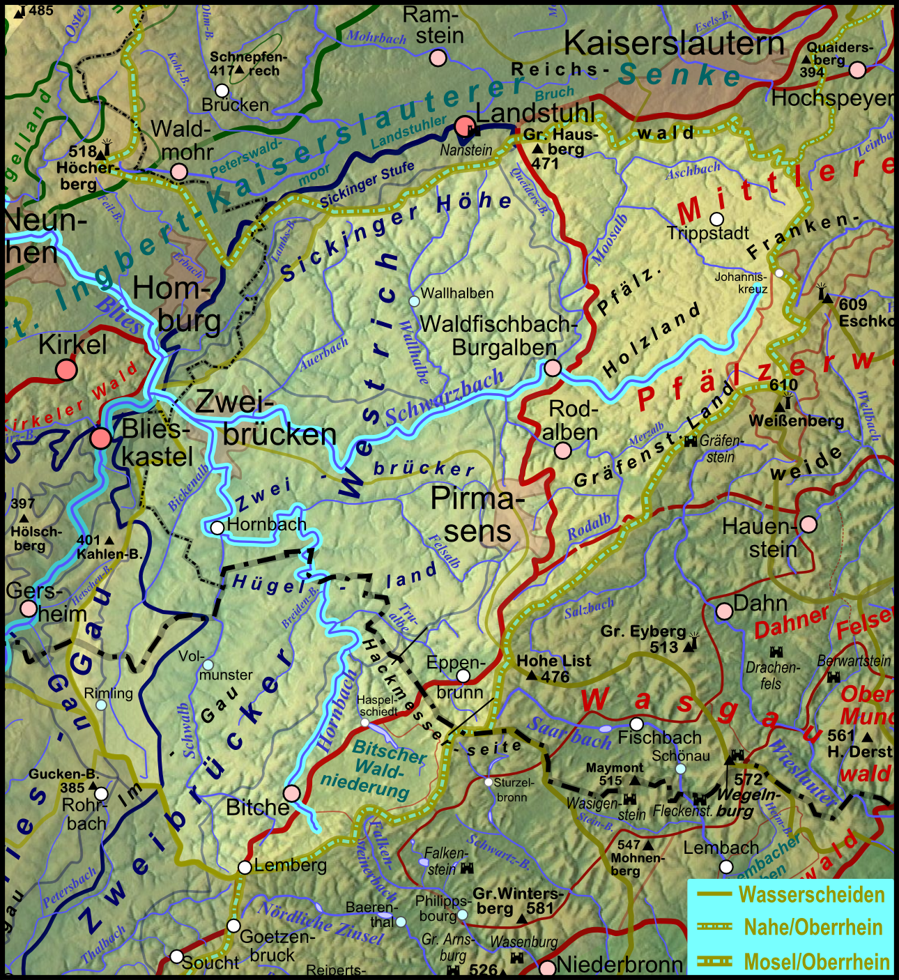
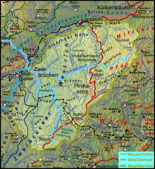
Deutsch: Karte des Flussgebietes des Schwarzbachs, Nebenfluss der Blies; der Nebenfluss Hornbach ist als dritter Hauptarm der Blies ebenfalls hervorgehoben. |
| Date | 2011-12-10, completely new at 2012-01-18 |
| Source |
Own work
|
| Author | Elop |
| Other versions |
|
Licensing
[edit]

|
Permission is granted to copy, distribute and/or modify this document under the terms of the GNU Free Documentation License, Version 1.2 or any later version published by the Free Software Foundation; with no Invariant Sections, no Front-Cover Texts, and no Back-Cover Texts. A copy of the license is included in the section entitled GNU Free Documentation License. |
File history
Click on a date/time to view the file as it appeared at that time.
| Date/Time | Thumbnail | Dimensions | User | Comment | |
|---|---|---|---|---|---|
| current | 19:52, 18 January 2012 | | 1,290 × 1,406 (3.16 MB) | Elop (talk | contribs) | completely new |
| 01:38, 19 December 2011 |  | 1,127 × 1,403 (1.78 MB) | Elop (talk | contribs) | Update | |
| 12:33, 13 December 2011 |  | 1,127 × 1,403 (1.8 MB) | Elop (talk | contribs) | ||
| 19:28, 10 December 2011 |  | 1,127 × 1,403 (1.78 MB) | Elop (talk | contribs) | == Summary == {{Information |Description ={{de|1=Flussgebietskarte des Scvhwarzbachs (farblich hervorgehoben) auf Basis der Flussgebietskarte zum Pfälzerwald, siehe [[:File:Pfaelzerwaldkarte_Flussgebiete.png|Flussgebietska |
You cannot overwrite this file.
File usage on Commons
The following 5 pages use this file:
File usage on other wikis
The following other wikis use this file:
- Usage on de.wikipedia.org
- Usage on eo.wikipedia.org
- Usage on fr.wikipedia.org
- Usage on www.wikidata.org