File:Penshaw Monument map.png
Jump to navigation
Jump to search
Size of this preview: 468 × 599 pixels. Other resolutions: 187 × 240 pixels | 375 × 480 pixels | 600 × 768 pixels | 800 × 1,024 pixels | 1,312 × 1,680 pixels.
Original file (1,312 × 1,680 pixels, file size: 398 KB, MIME type: image/png)
Captions
Captions
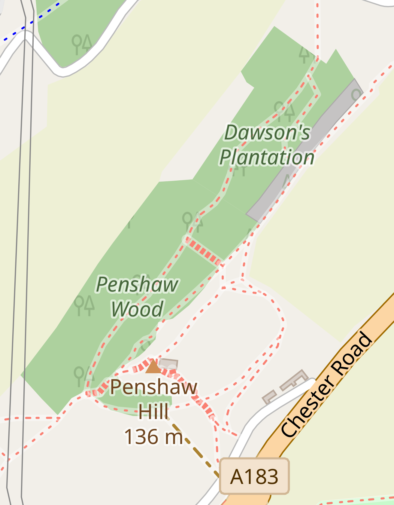
Map of the environs of Penshaw Monument
Summary
[edit]
| Description |
English: Map of the environs of Penshaw Monument |
| Date | |
| Source | OpenStreetMap |
| Author | OpenStreetMap contributors |
Licensing
[edit]
| Description |
This map was created from OpenStreetMap project data, collected by the community. This map may be incomplete, and may contain errors. Don't rely solely on it for navigation. |
|||
| Date | (see file history) | |||
| Source | openstreetmap.org | |||
| Creator |
OpenStreetMap contributors |
|||
| Permission (Reusing this file) |
OpenStreetMap data is available under the Open Database License (details). Map tiles are licensed under the Creative Commons Attribution-ShareAlike 2.0 license (CC-BY-SA 2.0).
This file is licensed under the Creative Commons Attribution-Share Alike 2.0 Generic license.
|
|||
| Georeferencing | If inappropriate please set warp_status = skip to hide. |
File history
Click on a date/time to view the file as it appeared at that time.
| Date/Time | Thumbnail | Dimensions | User | Comment | |
|---|---|---|---|---|---|
| current | 20:49, 12 August 2020 | | 1,312 × 1,680 (398 KB) | Ajmint (talk | contribs) | Version with tree symbols the right way up |
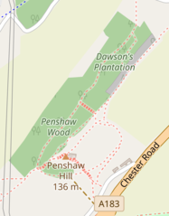
| 10:50, 2 August 2020 |  | 1,263 × 1,625 (459 KB) | Ajmint (talk | contribs) | Uploaded a work by OpenStreetMap contributors from OpenStreetMap with UploadWizard |
You cannot overwrite this file.
File usage on Commons
There are no pages that use this file.
File usage on other wikis
The following other wikis use this file:
- Usage on en.wikipedia.org
- Usage on fr.wikipedia.org