File:Pennsylvania, roadless & undeveloped area evaluation II, RARE II final environmental statement - January 1979. LOC 97684600.jpg
Jump to navigation
Jump to search

Size of this preview: 800 × 535 pixels. Other resolutions: 320 × 214 pixels | 640 × 428 pixels | 1,024 × 684 pixels | 1,280 × 855 pixels | 2,560 × 1,710 pixels | 12,541 × 8,379 pixels.
Original file (12,541 × 8,379 pixels, file size: 13.35 MB, MIME type: image/jpeg)
Captions
Captions
Add a one-line explanation of what this file represents
Summary
[edit]| Warning | The original file is very high-resolution. It might not load properly or could cause your browser to freeze when opened at full size. |
|---|
| Description |
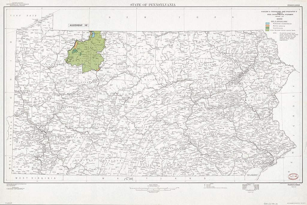
English: Shows "RARE II roadless areas" (recommended wilderness areas, areas for further planning, nonwilderness areas, and national forest system lands) in color on black-and-white base map. Also shows "Allegheny NF" [national forest]. Base map "Compiled, edited, and published by the Geological Survey." Base map ed. statement: Edition of 1955. Printed: *U.S. Government Printing Office, 1979--650-778. Includes notes. "M R-1801." Available also through the Library of Congress Web site as a raster image. |
||
| Title | Pennsylvania, roadless & undeveloped area evaluation II, RARE II final environmental statement : January 1979. | ||
| Shelf ID | G3821.G3 1979 .U5 | ||
| Date | |||
| Source | https://www.loc.gov/item/97684600/ | ||
| Author | United States. Forest Service. Eastern Region; Geological Survey (U.S.) | ||
| Permission (Reusing this file) |
|
||
| Other versions |
|
||
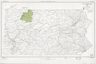
| Location | Pennsylvania · United States · Allegheny National Forest. · Allegheny National Forest · Pennsylvania. | ||
| Part of | American Memory · Catalog · Geography And Map Division · Additional Conservation And Environment Cartographic Items | ||
| Subject | Regional Planning · Pennsylvania · Allegheny National Forest (Pa.) · Wilderness Areas · United States · Maps · Planning · Environmental Policy · Allegheny National Forest |


Licensing
[edit]
| This work is from the Library of Congress. According to the library, there are no known copyright restrictions on the use of this work. |  |
File history
Click on a date/time to view the file as it appeared at that time.
| Date/Time | Thumbnail | Dimensions | User | Comment | |
|---|---|---|---|---|---|
| current | 14:53, 5 June 2018 | | 12,541 × 8,379 (13.35 MB) | Fæ (talk | contribs) | LOC Maps https://www.loc.gov/item/97684600/ #20918 |
You cannot overwrite this file.
File usage on Commons
The following page uses this file: