File:Pelee and nearby islands in Lake Erie.jpg
Jump to navigation
Jump to search

Size of this preview: 448 × 599 pixels. Other resolutions: 179 × 240 pixels | 359 × 480 pixels | 894 × 1,195 pixels.
Original file (894 × 1,195 pixels, file size: 643 KB, MIME type: image/jpeg)
Captions
Captions
Add a one-line explanation of what this file represents
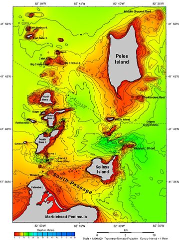
| Description | Islands in Lake Erie | |||
| Source | https://www.ngdc.noaa.gov/mgg/greatlakes/lakeerie_cdrom/html/e_area7.htm | |||
| Author | ||||
| Permission (Reusing this file) |
|
File history
Click on a date/time to view the file as it appeared at that time.
| Date/Time | Thumbnail | Dimensions | User | Comment | |
|---|---|---|---|---|---|
| current | 10:34, 23 June 2017 | | 894 × 1,195 (643 KB) | Geo Swan (talk | contribs) | {{Information |Description=Islands in Lake Erie |Source=https://www.ngdc.noaa.gov/mgg/greatlakes/lakeerie_cdrom/html/e_area7.htm |Date= |Author= |Permission={{PD-USGov-NOAA}} |other_versions= }} Category:Maps of Lake Erie [[Category:Islands of L... |
You cannot overwrite this file.
File usage on Commons
The following page uses this file:
File usage on other wikis
The following other wikis use this file:
- Usage on en.wikipedia.org
- Usage on www.wikidata.org
Categories:
- Bathymetric maps of Lake Erie
- Maps of Pelee Island
- Rattlesnake Island (Lake Erie)
- Middle Bass Island
- Maps of Kelleys Island, Ohio
- Maps of South Bass Island
- North Bass Island
- Sugar Island (Michigan)
- Green Island (Lake Erie)
- Starve Island
- Big Chicken Island
- Little Chicken Island
- Mouse Island (Ohio)
- Middle Island (Lake Erie)
- Chick Island
- Hen Island
- Marblehead Peninsula (Ohio)
- North Harbour Island
- East Sister Island
- Bathymetric maps of the Great Lakes