File:Paur harthausen 1700.png
Original file (1,348 × 1,034 pixels, file size: 3.26 MB, MIME type: image/png)
Captions
Captions
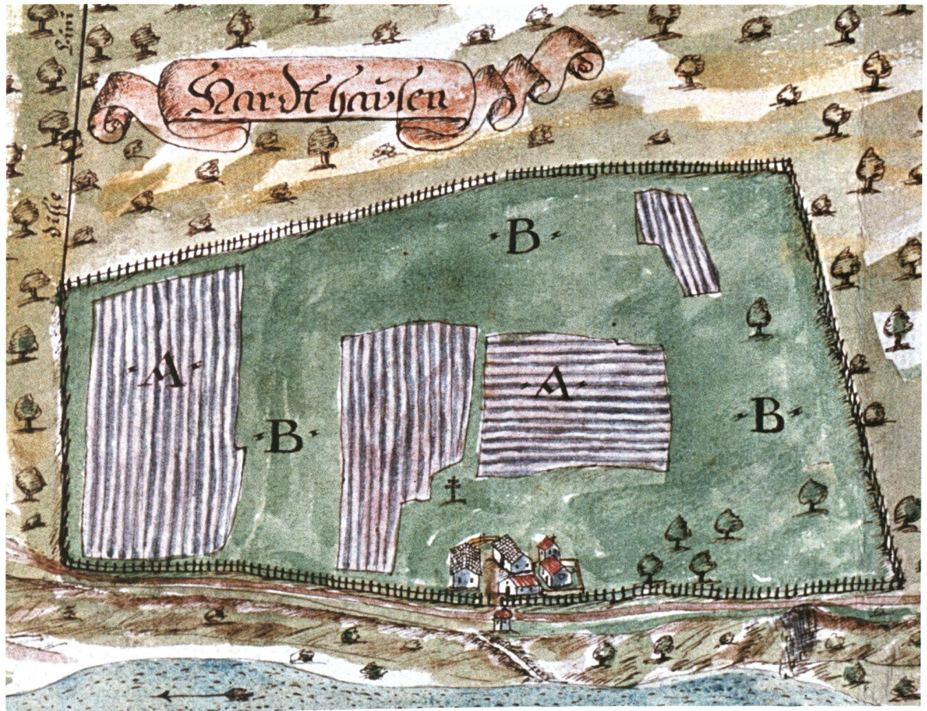
| Description | Map of Harthausen, called Menterschwaige since 1807 in Munich, Germany. Made by Mattias Paur in 1700 | ||||||||||||||||
| Date | |||||||||||||||||
| Source | Dorle Gribl: "Harlaching und die Menterschwaige", Buchendorfer, München 2004, p 175 | ||||||||||||||||
| Author |
|
||||||||||||||||
| Permission (Reusing this file) |
|
||||||||||||||||
| Other versions |
File:Harlaching Map 1700 Mattias Paur Geometer.jpg  full map full map |
||||||||||||||||

File history
Click on a date/time to view the file as it appeared at that time.
| Date/Time | Thumbnail | Dimensions | User | Comment | |
|---|---|---|---|---|---|
| current | 14:07, 23 September 2011 | | 1,348 × 1,034 (3.26 MB) | H-stt (talk | contribs) | {{Information |Description= Map of Harthausen, now called Menterschwaige in Munich, Germany. Made by Mattias Paur in 1700 |Source= Dorle Gribl: "Harlaching und die Menterschwaige", Buchendorfer, München 2004, p 175 |Date= 1700 |Author= Mattias Paur, Geom |
You cannot overwrite this file.
File usage on Commons
The following page uses this file:
File usage on other wikis
The following other wikis use this file:
- Usage on de.wikipedia.org