File:Path to Bishop Thornton - geograph.org.uk - 716109.jpg
Jump to navigation
Jump to search
No higher resolution available.
Path_to_Bishop_Thornton_-_geograph.org.uk_-_716109.jpg (640 × 480 pixels, file size: 71 KB, MIME type: image/jpeg)
Captions
Captions
Add a one-line explanation of what this file represents
Summary
[edit]
| Description |
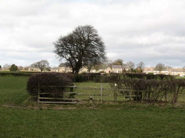
English: Path to Bishop Thornton A stile on the footpath to Bishop Thornton. An odd stretch of path, which enters the pasture ahead, only to rejoin the original field at the other side. After negotiating two rickety stiles, one comes to the conclusion that it would be easier to keep left of the hedge to avoid them. |
| Date | |
| Source | From geograph.org.uk |
| Author | Gordon Hatton |
| Attribution (required by the license) | Gordon Hatton / Path to Bishop Thornton / |
| Camera location | | View this and other nearby images on: OpenStreetMap |
|---|
_heading:0.00&language=en)
| Object location | | View this and other nearby images on: OpenStreetMap |
|---|
_heading:0.00&language=en)
Licensing
[edit]

|
This image was taken from the Geograph project collection. See this photograph's page on the Geograph website for the photographer's contact details. The copyright on this image is owned by Gordon Hatton and is licensed for reuse under the Creative Commons Attribution-ShareAlike 2.0 license.
|
This file is licensed under the Creative Commons Attribution-Share Alike 2.0 Generic license.
Attribution: Gordon Hatton
- You are free:
- to share – to copy, distribute and transmit the work
- to remix – to adapt the work
- Under the following conditions:
- attribution – You must give appropriate credit, provide a link to the license, and indicate if changes were made. You may do so in any reasonable manner, but not in any way that suggests the licensor endorses you or your use.
- share alike – If you remix, transform, or build upon the material, you must distribute your contributions under the same or compatible license as the original.
File history
Click on a date/time to view the file as it appeared at that time.
| Date/Time | Thumbnail | Dimensions | User | Comment | |
|---|---|---|---|---|---|
| current | 02:03, 19 February 2011 | | 640 × 480 (71 KB) | GeographBot (talk | contribs) | == {{int:filedesc}} == {{Information |description={{en|1=Path to Bishop Thornton A stile on the footpath to Bishop Thornton. An odd stretch of path, which enters the pasture ahead, only to rejoin the original field at the other side. After negotiating two |
You cannot overwrite this file.
File usage on Commons
There are no pages that use this file.