File:Path 4 towards Sass Corbee and limekiln.jpg
From Wikimedia Commons, the free media repository
Jump to navigation
Jump to search
![File:Path 4 towards Sass Corbee and limekiln.jpg](https://upload.wikimedia.org/wikipedia/commons/thumb/0/0f/Path_4_towards_Sass_Corbee_and_limekiln.jpg/800px-Path_4_towards_Sass_Corbee_and_limekiln.jpg?20230227190947)
Size of this preview: 800 × 559 pixels. Other resolutions: 320 × 224 pixels | 640 × 447 pixels | 1,024 × 716 pixels | 1,280 × 895 pixels | 2,560 × 1,790 pixels | 3,204 × 2,240 pixels.
Original file (3,204 × 2,240 pixels, file size: 4.92 MB, MIME type: image/jpeg)
File information
Structured data
Captions
Captions
Add a one-line explanation of what this file represents
Summary
[edit]DescriptionPath 4 towards Sass Corbee and limekiln.jpg |
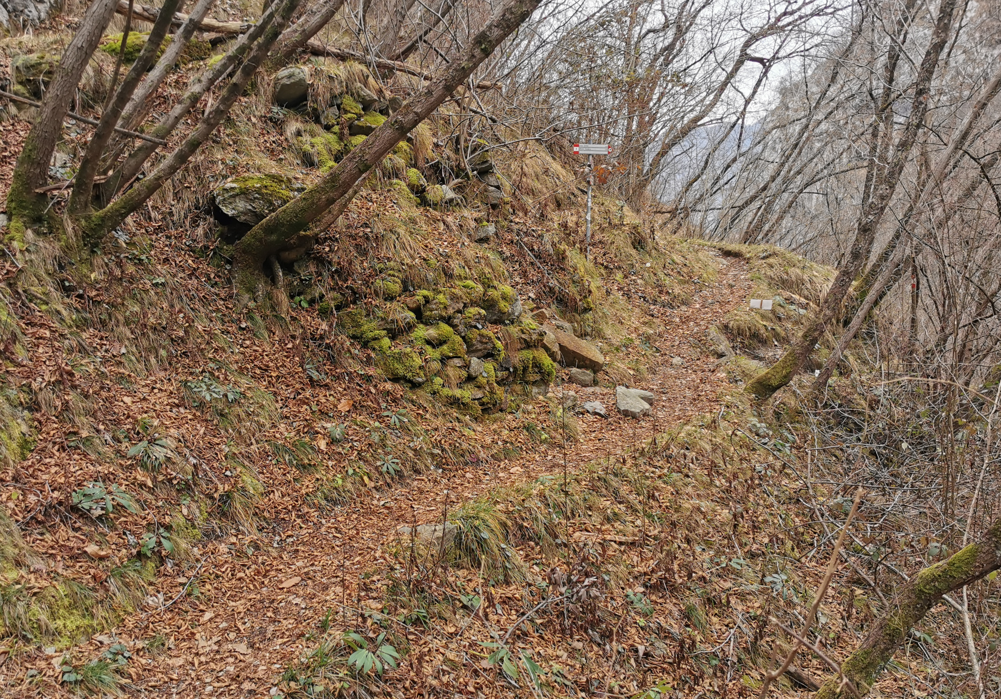
Italiano: Il sentiero 4 in direzione di Sass Corbee passa davanti ad una antica calchera (fornace per la calce, a sinistra in foto), poco prima del bivio per Barna (sentiero 4a) |
Date | |
Source | Own work |
Author | Kaitu |
Camera location | 46° 02′ 47.73″ N, 9° 12′ 25.02″ E ![]() ![]() | View this and other nearby images on: OpenStreetMap | ![]() |
---|
Licensing
[edit]I, the copyright holder of this work, hereby publish it under the following license:
![w:en:Creative Commons](https://upload.wikimedia.org/wikipedia/commons/thumb/7/79/CC_some_rights_reserved.svg/90px-CC_some_rights_reserved.svg.png)
![attribution](https://upload.wikimedia.org/wikipedia/commons/thumb/1/11/Cc-by_new_white.svg/24px-Cc-by_new_white.svg.png)
![share alike](https://upload.wikimedia.org/wikipedia/commons/thumb/d/df/Cc-sa_white.svg/24px-Cc-sa_white.svg.png)
This file is licensed under the Creative Commons Attribution-Share Alike 4.0 International license.
- You are free:
- to share – to copy, distribute and transmit the work
- to remix – to adapt the work
- Under the following conditions:
- attribution – You must give appropriate credit, provide a link to the license, and indicate if changes were made. You may do so in any reasonable manner, but not in any way that suggests the licensor endorses you or your use.
- share alike – If you remix, transform, or build upon the material, you must distribute your contributions under the same or compatible license as the original.
Annotations InfoField | This image is annotated: View the annotations at Commons |
2171
641
232
329
3204
2240
path 4a towards Barna
2355
982
525
244
3204
2240
path 4 towards Sass Corbee
252
1186
1982
974
3204
2240
path 4 from Monti di Madri
File history
Click on a date/time to view the file as it appeared at that time.
Date/Time | Thumbnail | Dimensions | User | Comment | |
---|---|---|---|---|---|
current | 19:09, 27 February 2023 | ![]() | 3,204 × 2,240 (4.92 MB) | Kaitu (talk | contribs) | Uploaded own work with UploadWizard |
You cannot overwrite this file.
File usage on Commons
There are no pages that use this file.
Metadata
This file contains additional information such as Exif metadata which may have been added by the digital camera, scanner, or software program used to create or digitize it. If the file has been modified from its original state, some details such as the timestamp may not fully reflect those of the original file. The timestamp is only as accurate as the clock in the camera, and it may be completely wrong.
Camera manufacturer | HUAWEI |
---|---|
Camera model | VOG-L29 |
Exposure time | 5,299/1,000,000 sec (0.005299) |
F-number | f/1.6 |
ISO speed rating | 50 |
Date and time of data generation | 10:12, 1 January 2023 |
Lens focal length | 5.56 mm |
Latitude | 46° 2′ 47.73″ N |
Longitude | 9° 12′ 25.02″ E |
Altitude | 592.732 meters above sea level |
Orientation | Normal |
Horizontal resolution | 96 dpi |
Vertical resolution | 96 dpi |
Software used | GIMP 2.10.32 |
File change date and time | 20:06, 27 February 2023 |
Y and C positioning | Centered |
Exposure Program | Normal program |
Exif version | 2.1 |
Date and time of digitizing | 10:12, 1 January 2023 |
Meaning of each component |
|
Image compression mode | 0.95 |
APEX shutter speed | 29.8973 |
APEX aperture | 1.35 |
APEX brightness | 0 |
APEX exposure bias | 0 |
Maximum land aperture | 1.35 APEX (f/1.6) |
Metering mode | Pattern |
Light source | Daylight |
Flash | Flash did not fire |
DateTime subseconds | 036464 |
DateTimeOriginal subseconds | 036464 |
DateTimeDigitized subseconds | 036464 |
Supported Flashpix version | 1 |
Color space | sRGB |
Sensing method | One-chip color area sensor |
File source | Digital still camera |
Scene type | A directly photographed image |
Custom image processing | Custom process |
Exposure mode | Auto exposure |
White balance | Auto white balance |
Digital zoom ratio | 1 |
Focal length in 35 mm film | 27 mm |
Scene capture type | Standard |
Scene control | None |
Contrast | Normal |
Saturation | Normal |
Sharpness | Normal |
Subject distance range | Unknown |
GPS time (atomic clock) | 09:12 |
Speed unit | Kilometers per hour |
Speed of GPS receiver | 0 |
Reference for direction of image | True direction |
Direction of image | 163.48291965753 |
GPS date | 1 January 2023 |
GPS tag version | 0.0.3.2 |
Unique ID of original document | xmp.did:6f7d9a74-3382-4897-8410-9f4ab4728848 |