File:Parochiekerk Sint-Laurentius.jpg
![File:Parochiekerk Sint-Laurentius.jpg](https://upload.wikimedia.org/wikipedia/commons/thumb/5/5e/Parochiekerk_Sint-Laurentius.jpg/800px-Parochiekerk_Sint-Laurentius.jpg?20110910194524)
Original file (4,272 × 2,848 pixels, file size: 3.69 MB, MIME type: image/jpeg)
Captions
Captions
Summary
[edit]DescriptionParochiekerk Sint-Laurentius.jpg |
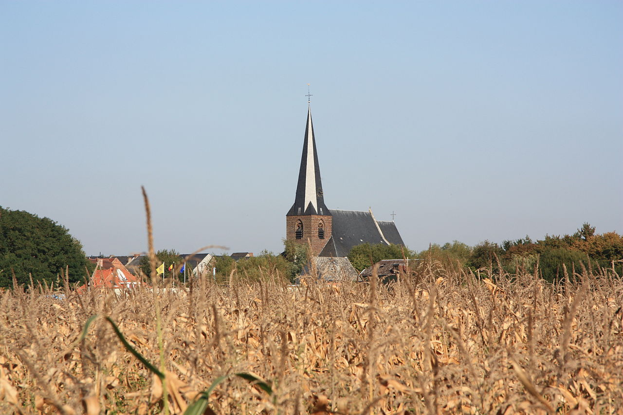
Nederlands: Parochiekerk Sint-Laurentius |
Date | |
Source | Own work |
Author | Sector271 |
Openstreetmap entry InfoField | Link to Openstreetmap |
Object location | 50° 59′ 04.91″ N, 4° 46′ 52.63″ E ![]() | View this and other nearby images on: OpenStreetMap | ![]() |
---|
Camera location | 50° 58′ 54.27″ N, 4° 46′ 35.27″ E ![]() | View this and other nearby images on: OpenStreetMap | ![]() |
---|
Licensing
[edit]![w:en:Creative Commons](https://upload.wikimedia.org/wikipedia/commons/thumb/7/79/CC_some_rights_reserved.svg/90px-CC_some_rights_reserved.svg.png)
![attribution](https://upload.wikimedia.org/wikipedia/commons/thumb/1/11/Cc-by_new_white.svg/24px-Cc-by_new_white.svg.png)
![share alike](https://upload.wikimedia.org/wikipedia/commons/thumb/d/df/Cc-sa_white.svg/24px-Cc-sa_white.svg.png)
- You are free:
- to share – to copy, distribute and transmit the work
- to remix – to adapt the work
- Under the following conditions:
- attribution – You must give appropriate credit, provide a link to the license, and indicate if changes were made. You may do so in any reasonable manner, but not in any way that suggests the licensor endorses you or your use.
- share alike – If you remix, transform, or build upon the material, you must distribute your contributions under the same or compatible license as the original.
![]() |
This image was uploaded as part of Wiki Loves Monuments 2011.
Afrikaans ∙ Alemannisch ∙ العربية ∙ جازايرية ∙ azərbaycanca ∙ Bikol Central ∙ беларуская ∙ беларуская (тарашкевіца) ∙ български ∙ বাংলা ∙ brezhoneg ∙ bosanski ∙ català ∙ čeština ∙ Cymraeg ∙ dansk ∙ Deutsch ∙ Zazaki ∙ Ελληνικά ∙ English ∙ Esperanto ∙ español ∙ eesti ∙ euskara ∙ فارسی ∙ suomi ∙ français ∙ Frysk ∙ Gaeilge ∙ galego ∙ עברית ∙ हिन्दी ∙ hrvatski ∙ magyar ∙ հայերեն ∙ Bahasa Indonesia ∙ Ido ∙ italiano ∙ 日本語 ∙ ქართული ∙ 한국어 ∙ кыргызча ∙ Lëtzebuergesch ∙ latviešu ∙ Malagasy ∙ македонски ∙ മലയാളം ∙ Bahasa Melayu ∙ Malti ∙ norsk bokmål ∙ नेपाली ∙ Nederlands ∙ norsk nynorsk ∙ norsk ∙ polski ∙ português ∙ português do Brasil ∙ română ∙ русский ∙ sicilianu ∙ davvisámegiella ∙ slovenčina ∙ slovenščina ∙ shqip ∙ српски / srpski ∙ svenska ∙ ไทย ∙ Tagalog ∙ Türkçe ∙ українська ∙ اردو ∙ oʻzbekcha / ўзбекча ∙ Yorùbá ∙ 中文 ∙ 中文(中国大陆) ∙ 中文(简体) ∙ 中文(繁體) ∙ 中文(香港) ∙ 中文(臺灣) ∙ +/− |
![]() |
This is a photo of onroerend erfgoed number 41476
|
File history
Click on a date/time to view the file as it appeared at that time.
Date/Time | Thumbnail | Dimensions | User | Comment | |
---|---|---|---|---|---|
current | 19:45, 10 September 2011 | ![]() | 4,272 × 2,848 (3.69 MB) | Sector271 (talk | contribs) |
You cannot overwrite this file.
File usage on Commons
The following 2 pages use this file:
File usage on other wikis
The following other wikis use this file:
- Usage on fr.wikipedia.org
- Usage on nl.wikipedia.org
Metadata
This file contains additional information such as Exif metadata which may have been added by the digital camera, scanner, or software program used to create or digitize it. If the file has been modified from its original state, some details such as the timestamp may not fully reflect those of the original file. The timestamp is only as accurate as the clock in the camera, and it may be completely wrong.
Camera manufacturer | Canon |
---|---|
Camera model | Canon EOS 450D |
Exposure time | 1/200 sec (0.005) |
F-number | f/9 |
ISO speed rating | 100 |
Date and time of data generation | 15:15, 9 October 2010 |
Lens focal length | 85 mm |
Altitude | 19.325 meters above sea level |
Orientation | Normal |
Horizontal resolution | 72 dpi |
Vertical resolution | 72 dpi |
File change date and time | 15:15, 9 October 2010 |
Y and C positioning | Co-sited |
Exposure Program | Landscape mode (for landscape photos with the background in focus) |
Exif version | 2.21 |
Date and time of digitizing | 15:15, 9 October 2010 |
APEX shutter speed | 7.625 |
APEX aperture | 6.375 |
APEX exposure bias | 0 |
Metering mode | Pattern |
Flash | Flash did not fire, compulsory flash suppression |
DateTime subseconds | 03 |
DateTimeOriginal subseconds | 03 |
DateTimeDigitized subseconds | 03 |
Color space | sRGB |
Focal plane X resolution | 4,865.6036446469 |
Focal plane Y resolution | 4,876.7123287671 |
Focal plane resolution unit | inches |
Custom image processing | Normal process |
Exposure mode | Auto exposure |
White balance | Auto white balance |
Scene capture type | Standard |
North or south latitude | North latitude |
East or west longitude | East longitude |
Speed unit | Kilometers per hour |
Speed of GPS receiver | 2.988 |
Structured data
Items portrayed in this file
depicts
9 October 2010
50°58'54.268"N, 4°46'35.270"E
0.005 second
85 millimetre
100
image/jpeg
3,868,424 byte
2,848 pixel
4,272 pixel
64393b93dc8709ae28310fced6b7c58a0b2236dc
50°59'4.913"N, 4°46'52.630"E
- On OSM
- Files with coordinates missing SDC location of creation (50° N, 4° E)
- CC-BY-SA-3.0
- Self-published work
- Images from Wiki Loves Monuments 2011
- Images from Wiki Loves Monuments 2011 in Belgium
- Images from Wiki Loves Monuments missing SDC location of creation
- Onroerend erfgoed with known IDs
- Belgium photographs taken on 2010-10-09