File:Park 323 at Chicago toward Material Service.jpg
![File:Park 323 at Chicago toward Material Service.jpg](https://upload.wikimedia.org/wikipedia/commons/thumb/8/86/Park_323_at_Chicago_toward_Material_Service.jpg/800px-Park_323_at_Chicago_toward_Material_Service.jpg?20140411030759)
Original file (2,816 × 1,584 pixels, file size: 756 KB, MIME type: image/jpeg)
Captions
Captions
![]() |
This is an image of a place or building that is listed on the National Register of Historic Places in the United States of America. Its reference number is 14000074. |
Object location | 41° 44′ 33″ N, 86° 30′ 23″ W ![]() | View this and other nearby images on: OpenStreetMap | ![]() |
---|
Camera location | 41° 44′ 18″ N, 87° 31′ 47″ W ![]() | View this and other nearby images on: OpenStreetMap | ![]() |
---|
DescriptionPark 323 at Chicago toward Material Service.jpg |
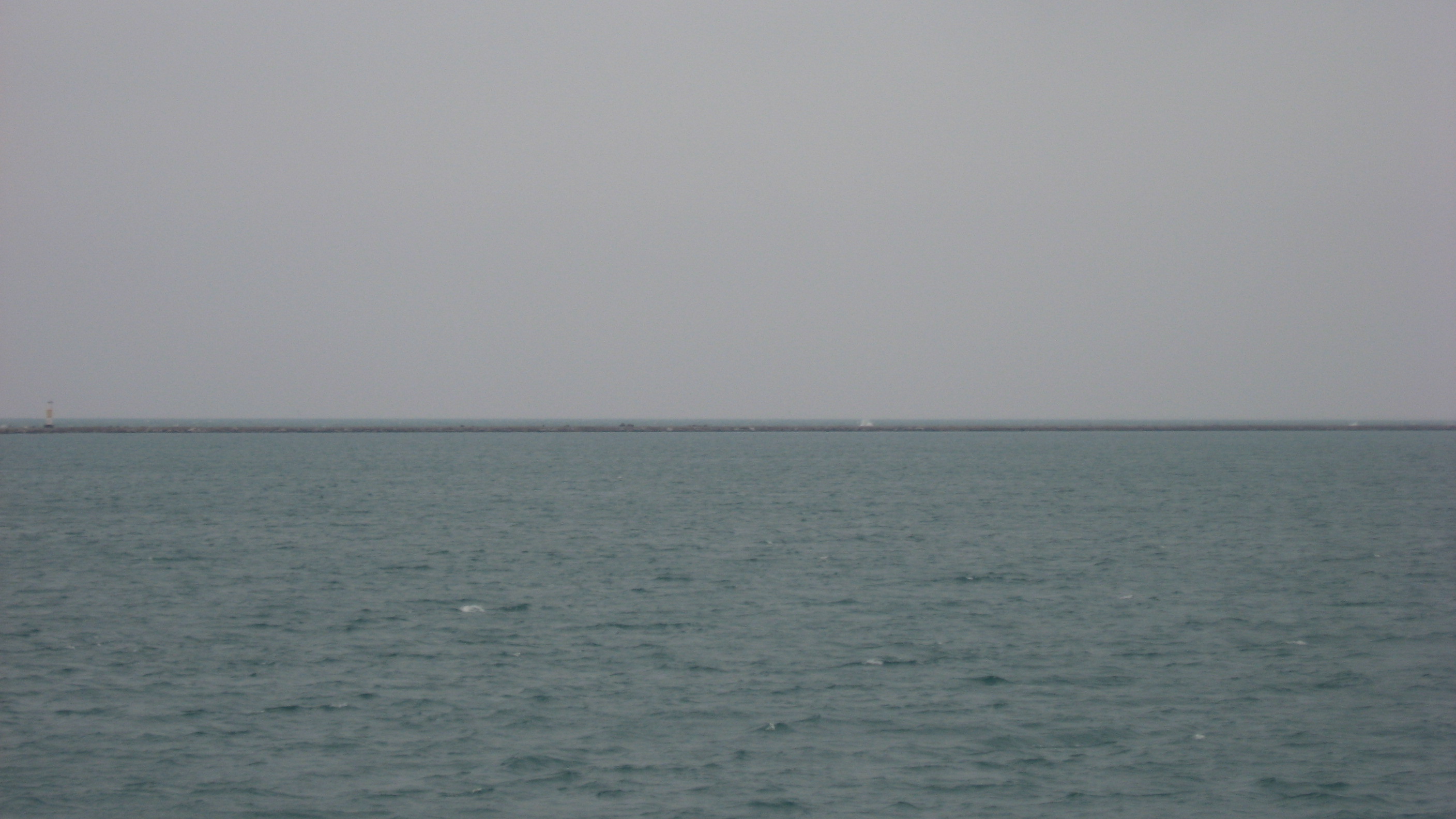
English: Looking east-northeast over Lake Michigan in the northern portion of Calumet Harbor in Chicago, Illinois, United States. Taken from Park 323, the image looks toward the northern section of the harbor's breakwater. In the far distance (beyond parts of the breakwater near the dark spot, just left of the center of the image) is the site of the shipwreck Material Service. The shipwreck site is an underwater archaeological site and is listed on the National Register of Historic Places. |
|||
Date | Taken on 29 March 2014 | |||
Source | Own work | |||
Author | Nyttend | |||
Permission (Reusing this file) |
|
File history
Click on a date/time to view the file as it appeared at that time.
Date/Time | Thumbnail | Dimensions | User | Comment | |
---|---|---|---|---|---|
current | 03:07, 11 April 2014 | ![]() | 2,816 × 1,584 (756 KB) | Nyttend (talk | contribs) | {{NRHP|14000074}} {{Object location|41|44|33|N|86|30|23|W}} {{Location|41|44|18|N|87|31|47|W}} {{Information |Description={{en|Looking east-northeast over {{w|Lake Michigan}} in the northern portion of {{w|Port of Chicago|Calumet Harbor}} in {{w|Chicag... |
You cannot overwrite this file.
File usage on Commons
The following page uses this file:
File usage on other wikis
The following other wikis use this file:
Metadata
This file contains additional information such as Exif metadata which may have been added by the digital camera, scanner, or software program used to create or digitize it. If the file has been modified from its original state, some details such as the timestamp may not fully reflect those of the original file. The timestamp is only as accurate as the clock in the camera, and it may be completely wrong.
Camera manufacturer | Canon |
---|---|
Camera model | Canon PowerShot A540 |
Exposure time | 1/125 sec (0.008) |
F-number | f/5 |
Date and time of data generation | 08:54, 29 March 2014 |
Lens focal length | 18.353 mm |
Orientation | Normal |
Horizontal resolution | 180 dpi |
Vertical resolution | 180 dpi |
File change date and time | 08:54, 29 March 2014 |
Y and C positioning | Centered |
Exif version | 2.2 |
Date and time of digitizing | 08:54, 29 March 2014 |
Meaning of each component |
|
Image compression mode | 3 |
APEX shutter speed | 6.96875 |
APEX aperture | 4.65625 |
APEX exposure bias | 0 |
Maximum land aperture | 4.65625 APEX (f/5.02) |
Metering mode | Pattern |
Flash | Flash did not fire, compulsory flash suppression, red-eye reduction mode |
Supported Flashpix version | 1 |
Color space | sRGB |
Focal plane X resolution | 12,515.555555556 |
Focal plane Y resolution | 9,372.7810650888 |
Focal plane resolution unit | inches |
Sensing method | One-chip color area sensor |
File source | Digital still camera |
Custom image processing | Normal process |
Exposure mode | Auto exposure |
White balance | Auto white balance |
Digital zoom ratio | 1 |
Scene capture type | Landscape |
Structured data
Items portrayed in this file
depicts
29 March 2014
41°44'17.999"N, 87°31'46.999"W
41°44'33.000"N, 86°30'23.000"W
0.008 second
18.353 millimetre
image/jpeg
- National Register of Historic Places with known IDs
- National Register of Historic Places missing SDC depicts
- National Register of Historic Places missing SDC location of creation
- Files with coordinates missing SDC location of creation
- United States photographs taken on 2014-03-29
- Self-published work
- PD-self
- Scenery pictures by User:Nyttend
- Pages with maps