File:Panoramic view near the Refuge Gramusset - panoramio - Björn S. (3).jpg
From Wikimedia Commons, the free media repository
Jump to navigation
Jump to search
![File:Panoramic view near the Refuge Gramusset - panoramio - Björn S. (3).jpg](https://upload.wikimedia.org/wikipedia/commons/thumb/9/95/Panoramic_view_near_the_Refuge_Gramusset_-_panoramio_-_Bj%C3%B6rn_S._%283%29.jpg/800px-Panoramic_view_near_the_Refuge_Gramusset_-_panoramio_-_Bj%C3%B6rn_S._%283%29.jpg?20161030113334)
Size of this preview: 800 × 292 pixels. Other resolutions: 320 × 117 pixels | 640 × 233 pixels | 1,024 × 374 pixels | 1,280 × 467 pixels | 2,560 × 934 pixels | 7,160 × 2,612 pixels.
Original file (7,160 × 2,612 pixels, file size: 4.67 MB, MIME type: image/jpeg)
File information
Structured data
Captions
Captions
Add a one-line explanation of what this file represents
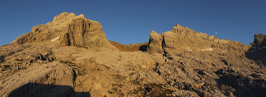
DescriptionPanoramic view near the Refuge Gramusset - panoramio - Björn S. (3).jpg | Panoramic view near the Refuge Gramusset | ||
Date | Taken on 13 August 2016 | ||
Source | https://web.archive.org/web/20161103065725/http://www.panoramio.com/photo/132814854 | ||
Author | Björn S. | ||
Permission (Reusing this file) |
![]() ![]() ![]() This file is licensed under the Creative Commons Attribution-Share Alike 3.0 Unported license. Attribution: Björn S.
|
Camera location | 45° 57′ 19.27″ N, 6° 32′ 39.9″ E ![]() | View this and other nearby images on: OpenStreetMap | ![]() |
---|
Annotations InfoField | This image is annotated: View the annotations at Commons |
1459
233
841
295
7160
2612
Pointe Percée
4645
537
313
295
7160
2612
Pointe des Verts
3258
1100
394
179
7160
2612
Col des Verts
3097
1288
752
510
7160
2612
Combe des Verts
6757
796
340
250
7160
2612
Pointe de Chombas
File history
Click on a date/time to view the file as it appeared at that time.
Date/Time | Thumbnail | Dimensions | User | Comment | |
---|---|---|---|---|---|
current | 11:33, 30 October 2016 | ![]() | 7,160 × 2,612 (4.67 MB) | Panoramio upload bot (talk | contribs) | {{Information |description=Panoramic view near the Refuge Gramusset |date={{Taken on|2016-08-13}} |source=http://www.panoramio.com/photo/132814854 |author=[http://www.panoramio.com/user/6004592?with_photo_id=132814854 Björn S.] |permission={{cc-by-sa-... |
You cannot overwrite this file.
File usage on Commons
There are no pages that use this file.
Metadata
This file contains additional information such as Exif metadata which may have been added by the digital camera, scanner, or software program used to create or digitize it. If the file has been modified from its original state, some details such as the timestamp may not fully reflect those of the original file. The timestamp is only as accurate as the clock in the camera, and it may be completely wrong.
Camera manufacturer | Canon |
---|---|
Camera model | Canon EOS 600D |
Date and time of data generation | 20:40, 13 August 2016 |
User comments | Projection: Fisheye (3)
FOV: 132 x 79 Ev: 13,05 |
Latitude | 45° 57′ 19.27″ N |
Longitude | 6° 32′ 39.9″ E |
Horizontal resolution | 1 dpc |
Vertical resolution | 1 dpc |
Software used | Hugin 2016.2.0.48cb11a23351 |
File change date and time | 20:40, 13 August 2016 |
Y and C positioning | Centered |
Exif version | 2.3 |
Date and time of digitizing | 20:40, 13 August 2016 |
Meaning of each component |
|
Supported Flashpix version | 1 |
Color space | sRGB |
Geodetic survey data used | WGS-84 |
GPS tag version | 2.0.0.0 |
Structured data
Items portrayed in this file
depicts
45°57'19.274"N, 6°32'39.901"E
13 August 2016
image/jpeg
Hidden categories:
- France photographs taken on 2016-08-13
- CC-BY-SA-3.0
- Panoramio images reviewed by trusted users
- Photos from Panoramio
- Files with coordinates missing SDC location of creation
- Images with annotations
- Panoramio files uploaded by Panoramio upload bot
- Photos from Panoramio ID 6004592
- Photographs by Björn Sothmann
- Pages with maps