File:Panoramic view near the Col d'Ugeon - panoramio (5).jpg
Jump to navigation
Jump to search

Size of this preview: 800 × 329 pixels. Other resolutions: 320 × 132 pixels | 640 × 263 pixels | 1,024 × 421 pixels | 1,280 × 527 pixels | 2,560 × 1,053 pixels | 9,684 × 3,985 pixels.
Original file (9,684 × 3,985 pixels, file size: 21.05 MB, MIME type: image/jpeg)
Captions
Captions
Add a one-line explanation of what this file represents
Summary
[edit].jpg&action=edit§ion=1)
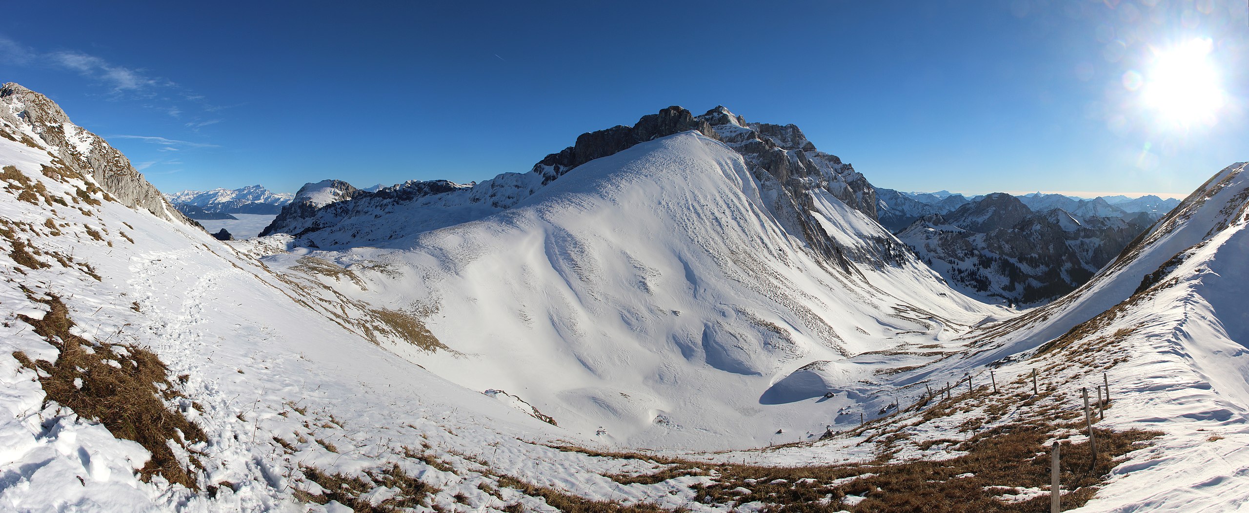
| Description | Panoramic view near the Col d'Ugeon | ||
| Date | Taken on 16 November 2013 | ||
| Source | https://web.archive.org/web/20161030065248/http://www.panoramio.com/photo/99645542 | ||
| Author | Björn S. | ||
| Permission (Reusing this file) |
This file is licensed under the Creative Commons Attribution-Share Alike 3.0 Unported license. Attribution: Björn S.
|
||
| Tags (from Panoramio photo page) | Vouvry, Cornettes de Bise |
| Camera location | | View this and other nearby images on: OpenStreetMap |
|---|
.jpg¶ms=046.347779_N_0006.776315_E_globe:Earth_type:camera_source:Panoramio_&language=en)
File history
Click on a date/time to view the file as it appeared at that time.
| Date/Time | Thumbnail | Dimensions | User | Comment | |
|---|---|---|---|---|---|
| current | 12:00, 7 April 2017 | 9,684 × 3,985 (21.05 MB) | Panoramio upload bot (talk | contribs) | == {{int:filedesc}} == {{Information |description=Panoramic view near the Col d'Ugeon |date={{Taken on|2013-11-16}} |source=http://www.panoramio.com/photo/99645542 |author=[http://www.panoramio.com/user/6004592?with_photo_id=99645542 Björn S.] |permis... |
You cannot overwrite this file.
File usage on Commons
The following page uses this file:
File usage on other wikis
The following other wikis use this file:
- Usage on de.wikipedia.org
- Usage on fr.wikipedia.org
- Usage on www.wikidata.org
.jpg&oldid=765267882)