File:Panoramic of water reflection of the mountains of Vang Vieng with cloudy sky in paddy fields.jpg
Jump to navigation
Jump to search

Size of this preview: 800 × 400 pixels. Other resolutions: 320 × 160 pixels | 640 × 320 pixels | 1,024 × 512 pixels | 1,280 × 640 pixels | 2,560 × 1,280 pixels | 6,678 × 3,339 pixels.
Original file (6,678 × 3,339 pixels, file size: 7.45 MB, MIME type: image/jpeg)
Captions
Captions
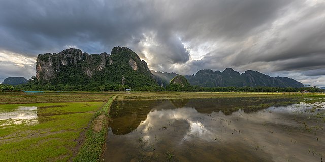
Panoramic of water reflection of the mountains of Vang Vieng with cloudy sky in paddy fields
Summary
[edit]
| Description |
English: Panoramic of water reflection of the Karst mountains of Vang Vieng, Laos, with a cloudy sky and crepuscular rays illuminating the top of a hill, and green rice fields in the foreground, in the evening, during the monsoon.
Français : Vue panoramique du reflet dans l'eau des montagnes karstiques de Vang Vieng, Laos, avec un ciel nuageux et des rayons crépusculaires illuminant le sommet d'une colline, et des rizières vertes au premier plan, le soir, pendant la mousson. |
| Date | |
| Source | Own work |
| Author | Basile Morin |
| Other versions |
 |
| Camera location | | View this and other nearby images on: OpenStreetMap |
|---|
Licensing
[edit]
I, the copyright holder of this work, hereby publish it under the following license:
This file is licensed under the Creative Commons Attribution-Share Alike 4.0 International license.
- You are free:
- to share – to copy, distribute and transmit the work
- to remix – to adapt the work
- Under the following conditions:
- attribution – You must give appropriate credit, provide a link to the license, and indicate if changes were made. You may do so in any reasonable manner, but not in any way that suggests the licensor endorses you or your use.
- share alike – If you remix, transform, or build upon the material, you must distribute your contributions under the same or compatible license as the original.
This image has been assessed using the Quality image guidelines and is considered a Quality image.
|
File history
Click on a date/time to view the file as it appeared at that time.
| Date/Time | Thumbnail | Dimensions | User | Comment | |
|---|---|---|---|---|---|
| current | 10:25, 27 March 2021 | | 6,678 × 3,339 (7.45 MB) | Basile Morin (talk | contribs) | Uploaded own work with UploadWizard |
You cannot overwrite this file.
File usage on Commons
The following 7 pages use this file:
- User talk:Basile Morin/Archive 8 (2021)
- Commons:Featured picture candidates/File:Panoramic of water reflection of the mountains of Vang Vieng with cloudy sky in paddy fields.jpg
- Commons:Featured picture candidates/Log/June 2021
- Commons:Quality images/Subject/Places/Mixed/Panorama/Archive 2020-2021
- Commons:Quality images candidates/Archives March 31 2021
- File:Panoramic of water reflection of the mountains of Vang Vieng with crepuscular rays and paddy fields.jpg
- File:Water reflection of the mountains of Vang Vieng with crepuscular rays.jpg