File:Panorama du lac dEstaens.jpg
Jump to navigation
Jump to search

Size of this preview: 800 × 383 pixels. Other resolutions: 320 × 153 pixels | 640 × 306 pixels | 1,024 × 490 pixels | 1,280 × 613 pixels | 3,200 × 1,532 pixels.
Original file (3,200 × 1,532 pixels, file size: 1.44 MB, MIME type: image/jpeg)
Captions
Captions
Add a one-line explanation of what this file represents
| Description |
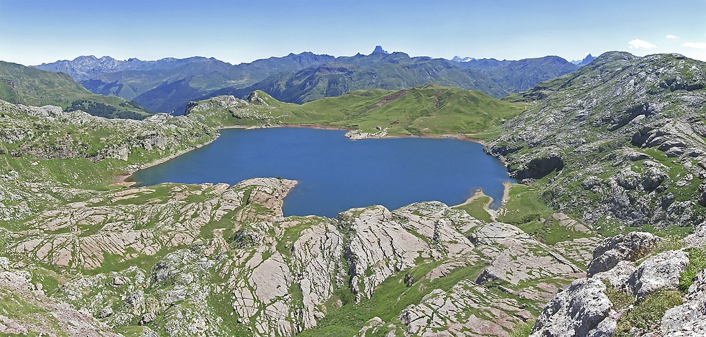
Français : Panorama du lac d'Estaens avec pic du Midi d'Ossau en fond. |
| Date | |
| Source |
|
| Author | stephane martin from paris, france |
| Camera location | | View this and other nearby images on: OpenStreetMap |
|---|
Licensing
[edit]
This file is licensed under the Creative Commons Attribution-Share Alike 2.0 Generic license.
- You are free:
- to share – to copy, distribute and transmit the work
- to remix – to adapt the work
- Under the following conditions:
- attribution – You must give appropriate credit, provide a link to the license, and indicate if changes were made. You may do so in any reasonable manner, but not in any way that suggests the licensor endorses you or your use.
- share alike – If you remix, transform, or build upon the material, you must distribute your contributions under the same or compatible license as the original.
| This image, originally posted to Flickr, was reviewed on October 10, 2009 by the administrator or reviewer File Upload Bot (Magnus Manske), who confirmed that it was available on Flickr under the stated license on that date. |
| Annotations | This image is annotated: View the annotations at Commons |
File history
Click on a date/time to view the file as it appeared at that time.
| Date/Time | Thumbnail | Dimensions | User | Comment | |
|---|---|---|---|---|---|
| current | 20:36, 10 October 2009 | | 3,200 × 1,532 (1.44 MB) | File Upload Bot (Magnus Manske) (talk | contribs) | {{Information |Description=Panorama du lac d'Estaens |Source=[http://www.flickr.com/photos/36099214@N00/2777249753/ Panorama du lac d'Estaens] * Uploaded by [[User:Gu�rin Nicolas|Gu�rin Nicolas]] |Date=2008-08-03 12:33 |Author=[http://www.flickr.com/p |
You cannot overwrite this file.
File usage on Commons
There are no pages that use this file.
File usage on other wikis
The following other wikis use this file:
- Usage on en.wiktionary.org
- Usage on es.wikipedia.org
- Usage on fr.wikipedia.org