File:Panorama dal Monte Reale - panoramio.jpg
Jump to navigation
Jump to search

Size of this preview: 800 × 263 pixels. Other resolutions: 320 × 105 pixels | 640 × 210 pixels | 1,024 × 336 pixels | 1,280 × 420 pixels | 3,200 × 1,050 pixels.
Original file (3,200 × 1,050 pixels, file size: 946 KB, MIME type: image/jpeg)
Captions
Captions
Add a one-line explanation of what this file represents
Summary
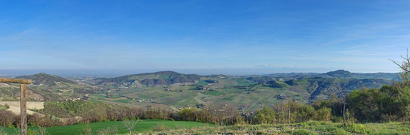
[edit]| Description | Panorama dal Monte Reale | ||
| Date | 31 March 2012 (original upload date) | ||
| Source | https://web.archive.org/web/20161021055114/http://www.panoramio.com/photo/69419393 | ||
| Author | Terensky | ||
| Permission (Reusing this file) |
This file is licensed under the Creative Commons Attribution 3.0 Unported license. Attribution: Terensky
|
||
| Tags (from Panoramio photo page) | Borgo Priolo, Borgo Priolo, Lombardia, Oltrepo Pavese |
| Camera location | | View this and other nearby images on: OpenStreetMap |
|---|

File history
Click on a date/time to view the file as it appeared at that time.
| Date/Time | Thumbnail | Dimensions | User | Comment | |
|---|---|---|---|---|---|
| current | 07:42, 31 December 2016 | 3,200 × 1,050 (946 KB) | Panoramio upload bot (talk | contribs) | == {{int:filedesc}} == {{Information |description=Panorama dal Monte Reale |date={{Original upload date|2012-03-31}} |source=http://www.panoramio.com/photo/69419393 |author=[http://www.panoramio.com/user/4616731?with_photo_id=69419393 Terensky] |permis... |
You cannot overwrite this file.
File usage on Commons
There are no pages that use this file.