File:Panama Panama relief map.png
Jump to navigation
Jump to search

Size of this preview: 729 × 599 pixels. Other resolutions: 292 × 240 pixels | 584 × 480 pixels | 871 × 716 pixels.
Original file (871 × 716 pixels, file size: 1,006 KB, MIME type: image/png)
Captions
Captions
Add a one-line explanation of what this file represents
Summary
[edit]| Description |
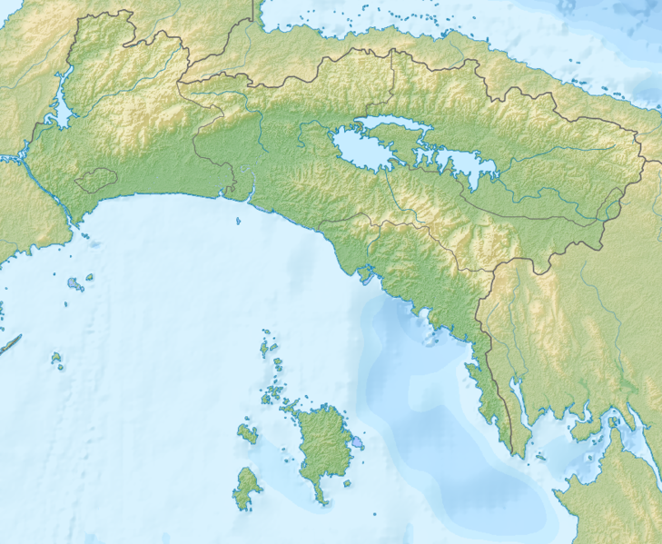
English: Relief map of Panama province, Panama. |
| Date | |
| Source | Own work using GMT and Inkscape |
| Creator | |
| Georeferencing | If inappropriate please set warp_status = skip to hide. |
| Other versions |
|

Licensing
[edit]
I, the copyright holder of this work, hereby publish it under the following license:
This file is licensed under the Creative Commons Attribution-Share Alike 4.0 International license.
- You are free:
- to share – to copy, distribute and transmit the work
- to remix – to adapt the work
- Under the following conditions:
- attribution – You must give appropriate credit, provide a link to the license, and indicate if changes were made. You may do so in any reasonable manner, but not in any way that suggests the licensor endorses you or your use.
- share alike – If you remix, transform, or build upon the material, you must distribute your contributions under the same or compatible license as the original.
File history
Click on a date/time to view the file as it appeared at that time.
| Date/Time | Thumbnail | Dimensions | User | Comment | |
|---|---|---|---|---|---|
| current | 08:18, 1 May 2016 | | 871 × 716 (1,006 KB) | Nzeemin (talk | contribs) | returned lost lakes |
| 07:59, 1 May 2016 |  | 871 × 716 (1,006 KB) | Nzeemin (talk | contribs) | User created page with UploadWizard |
You cannot overwrite this file.
File usage on Commons
The following 2 pages use this file:
File usage on other wikis
The following other wikis use this file:
- Usage on de.wikipedia.org
- Usage on es.wikipedia.org
- Isla del Rey (Panamá)
- Cerro Ancón
- Isla Contadora
- Provincia de Panamá
- Corte Culebra
- Río Bayano
- Isla de Taboga
- Isla de Otoque
- Isla de Saboga
- Wikiproyecto:Ilustración/Taller de Cartografía/Realizaciones/América del Norte
- Islas Ocean Reef
- Isla San José (Panamá)
- Lago Alajuela
- Plantilla:Mapa de localización de Provincia de Panamá
- Lago Bayano
- Río Pacora
- Río Matasnillo
- Serranía de Majé
- Cerro Jefe
- Río Curundú
- Río Grande (río de Panamá)
- Usage on fr.wikipedia.org
- Usage on he.wikipedia.org
- Usage on os.wikipedia.org
- Usage on ru.wikipedia.org
- Usage on tr.wikipedia.org
- Usage on uk.wikipedia.org