File:Palestine or the Holy land (FL37821218 3922872).jpg
Jump to navigation
Jump to search

Size of this preview: 492 × 599 pixels. Other resolutions: 197 × 240 pixels | 394 × 480 pixels | 630 × 768 pixels | 841 × 1,024 pixels | 1,681 × 2,048 pixels | 7,355 × 8,959 pixels.
Original file (7,355 × 8,959 pixels, file size: 93.44 MB, MIME type: image/jpeg)
Captions
Captions
Add a one-line explanation of what this file represents
Summary
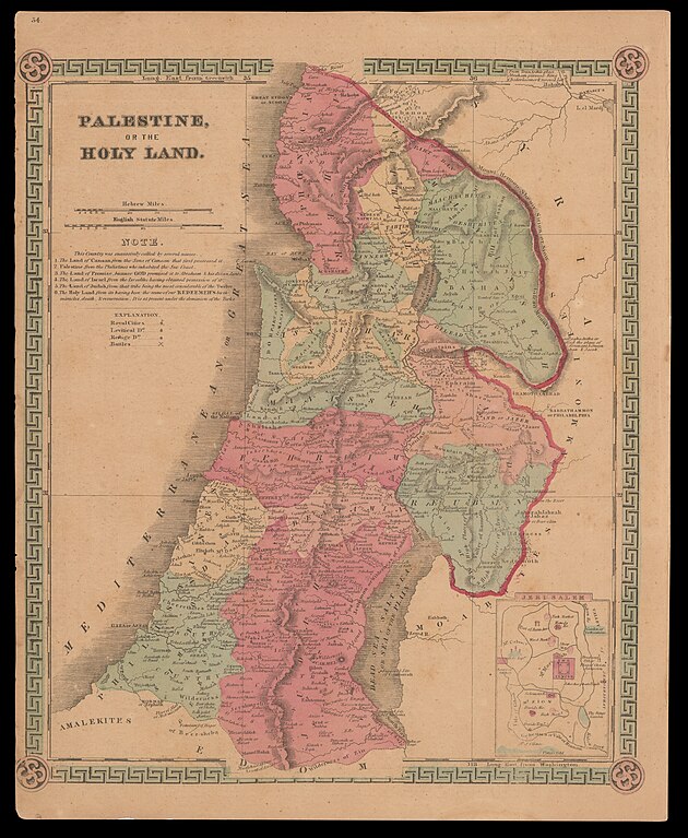
[edit]| Palestine or the Holy land
( |
||||||||||||||||||||||||
|---|---|---|---|---|---|---|---|---|---|---|---|---|---|---|---|---|---|---|---|---|---|---|---|---|
| Title |
Palestine or the Holy land |
|||||||||||||||||||||||
| Publisher |
Schonberg and Company |
|||||||||||||||||||||||
| Description |
Palestine or the Holy land.. |
|||||||||||||||||||||||
| Language | English | |||||||||||||||||||||||
| Publication date | 1863 | |||||||||||||||||||||||
| Medium | 1 online resource (1 map). | |||||||||||||||||||||||
| Collection |
|
|||||||||||||||||||||||
| Current location |
|
|||||||||||||||||||||||
| Place of publication | New York - Chicago - London | |||||||||||||||||||||||
| search Merhav catalog | New York - Chicago - London | |||||||||||||||||||||||
| Notes | Digital image of the original in Amir Cahanovitc Collection, Israel. ACC 155.; Digital image received from donor.; From: Schonberg's Standard Atlas of the World.; Inset: Jerusalem. | |||||||||||||||||||||||
| IE PID | IE37821216 | |||||||||||||||||||||||
| Rosetta filename | FL37821218 | |||||||||||||||||||||||
| NNL item ID (P3959) | 990039228720205171 | |||||||||||||||||||||||
| search Merhav catalog | English | |||||||||||||||||||||||
| search Merhav catalog | Twelve tribes of IsraelMapsSchonberg and Company | |||||||||||||||||||||||
| Source/Photographer |
|
|||||||||||||||||||||||
| Other versions | ||||||||||||||||||||||||
| Jpg / Tif version |
|
|||||||||||||||||||||||

.jpg)

.jpg&action=edit§ion=1)
Licensing
[edit].jpg&action=edit§ion=2)
The copyright situation of this work is theoretically uncertain, because in the country of origin copyright lasts 70 years after the death of the author, and the date of the author's death is unknown. However, the date of creation of the work was over 120 years ago, and it is thus a reasonable assumption that the copyright has expired (see here for the community discussion). Do not use this template if the date of death of the author is known.
| |
| This file has been identified as being free of known restrictions under copyright law, including all related and neighboring rights. | |
File history
Click on a date/time to view the file as it appeared at that time.
| Date/Time | Thumbnail | Dimensions | User | Comment | |
|---|---|---|---|---|---|
| current | 00:21, 3 September 2023 | | 7,355 × 8,959 (93.44 MB) | Geagea (talk | contribs) | pattypan 22.03 |
You cannot overwrite this file.
File usage on Commons
The following page uses this file:
.jpg&oldid=825985666)