File:PXL 20240402 110651429~2.jpg
From Wikimedia Commons, the free media repository
Jump to navigation
Jump to search
Size of this preview: 800 × 600 pixels. Other resolutions: 320 × 240 pixels | 640 × 480 pixels | 1,024 × 768 pixels | 1,280 × 960 pixels | 2,560 × 1,920 pixels | 4,032 × 3,024 pixels.
Original file (4,032 × 3,024 pixels, file size: 3.47 MB, MIME type: image/jpeg)
File information
Structured data
Captions
Summary
[edit]DescriptionPXL 20240402 110651429~2.jpg | 
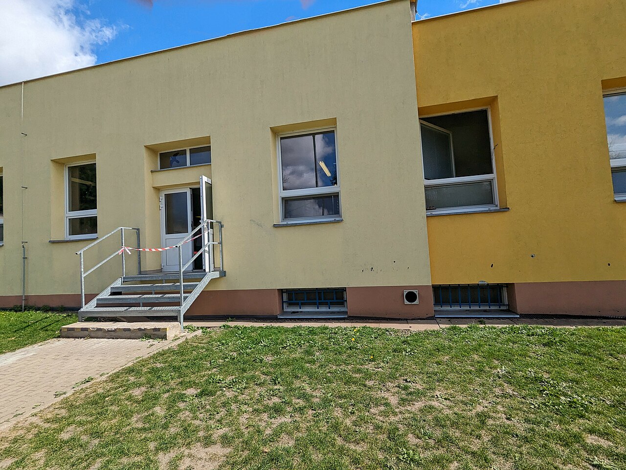
Jídelna Dr. Edvarda Beneše (zvenčí). | ||
Date | |||
Source |
Own work
|
||
Author | Ozubenamacka | ||
Permission (Reusing this file) |
I, the copyright holder of this work, hereby publish it under the following license: This file is licensed under the Creative Commons Attribution-Share Alike 4.0 International license.
|
Camera location | 50° 09′ 01.87″ N, 14° 31′ 30.09″ E | View this and other nearby images on: OpenStreetMap | 50.150519; 14.525025 |
---|
File history
Click on a date/time to view the file as it appeared at that time.
Date/Time | Thumbnail | Dimensions | User | Comment | |
---|---|---|---|---|---|
current | 12:56, 2 April 2024 | 4,032 × 3,024 (3.47 MB) | Ozubenamacka (talk | contribs) | Uploaded own work with UploadWizard |
You cannot overwrite this file.
File usage on Commons
There are no pages that use this file.
Metadata
This file contains additional information such as Exif metadata which may have been added by the digital camera, scanner, or software program used to create or digitize it. If the file has been modified from its original state, some details such as the timestamp may not fully reflect those of the original file. The timestamp is only as accurate as the clock in the camera, and it may be completely wrong.
Camera manufacturer | |
---|---|
Camera model | Pixel 6a |
ISO speed rating | 49 |
F-number | f/2.2 |
Exposure time | 37/62,500 sec (0.000592) |
Lens focal length | 2.35 mm |
Date and time of data generation | 13:06, 2 April 2024 |
Latitude | 50° 9′ 1.87″ N |
Longitude | 14° 31′ 30.09″ E |
Altitude | 308.2 meters above sea level |
Credit/Provider | AI-Generated with Google |
Width | 4,032 px |
Height | 3,024 px |
Software used | HDR+ 1.0.611900660zd |
File change date and time | 14:42, 2 April 2024 |
Orientation | Normal |
Y and C positioning | Centered |
Horizontal resolution | 72 dpi |
Vertical resolution | 72 dpi |
Exposure Program | Normal program |
Sensing method | One-chip color area sensor |
DateTimeDigitized subseconds | 429 |
DateTimeOriginal subseconds | 429 |
DateTime subseconds | 429 |
Subject distance range | Distant view |
Sharpness | Normal |
Flash | Flash did not fire, compulsory flash suppression |
Saturation | Normal |
Contrast | Normal |
Metering mode | Center weighted average |
Scene capture type | Standard |
Subject distance | 4,294,967,295 meters |
Focal length in 35 mm film | 16 mm |
Maximum land aperture | 2.28 APEX (f/2.2) |
Date and time of digitizing | 13:06, 2 April 2024 |
APEX exposure bias | 0 |
Digital zoom ratio | 0 |
White balance | Auto white balance |
APEX brightness | 9.03 |
Exposure mode | Auto exposure |
APEX aperture | 2.28 |
Meaning of each component |
|
Color space | sRGB |
Scene type | A directly photographed image |
Custom image processing | Custom process |
APEX shutter speed | 10.72 |
Exif version | 2.32 |
Supported Flashpix version | 1 |
Reference for direction of image | Magnetic direction |
Direction of image | 357 |
GPS time (atomic clock) | 11:06 |
GPS date | 2 April 2024 |
GPS tag version | 0.0.2.2 |