File:POL powiat piaseczynski map.svg
Jump to navigation
Jump to search

Size of this PNG preview of this SVG file: 800 × 565 pixels. Other resolutions: 320 × 226 pixels | 640 × 452 pixels | 1,024 × 723 pixels | 1,280 × 904 pixels | 2,560 × 1,808 pixels | 885 × 625 pixels.
Original file (SVG file, nominally 885 × 625 pixels, file size: 10 KB)
Captions
Captions
Add a one-line explanation of what this file represents
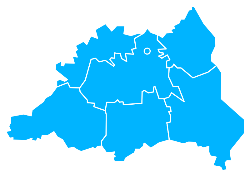
Podział powiatu piaseczyńskiego
Since the legal status of the above comment has been questioned, I hereby grant anyone the right to treat it as either a standard copyright notice, invariant section, legal statement, legal advice, friendly suggestion or a mere comment, depending on his or hers own choice. |
|

File history
Click on a date/time to view the file as it appeared at that time.
| Date/Time | Thumbnail | Dimensions | User | Comment | |
|---|---|---|---|---|---|
| current | 09:41, 19 May 2014 | | 885 × 625 (10 KB) | Blackfish (talk | contribs) | +gmina Tarczyn |
| 02:54, 9 November 2012 |  | 746 × 630 (16 KB) | AnonMoos (talk | contribs) | adjust margins | |
| 19:01, 24 August 2006 |  | 1,052 × 744 (17 KB) | Hiuppo (talk | contribs) | Podział powiatu piaseczyńskiego {{Hiuppo Copyright GFDL}} Category:Powiat piaseczyński |
You cannot overwrite this file.
File usage on Commons
There are no pages that use this file.
File usage on other wikis
The following other wikis use this file:
- Usage on azb.wikipedia.org
- Usage on be.wikipedia.org
- Usage on en.wikipedia.org
- Usage on fa.wikipedia.org
- Usage on fr.wikipedia.org
- Usage on lt.wikipedia.org
- Usage on ru.wikipedia.org
- Usage on uk.wikipedia.org
- Usage on zh.wikipedia.org