File:PA State House districts (blank) 2015.svg
Jump to navigation
Jump to search

Size of this PNG preview of this SVG file: 800 × 470 pixels. Other resolutions: 320 × 188 pixels | 640 × 376 pixels | 1,024 × 602 pixels | 1,280 × 752 pixels | 2,560 × 1,504 pixels | 3,436 × 2,019 pixels.
Original file (SVG file, nominally 3,436 × 2,019 pixels, file size: 1.17 MB)
Captions
Captions
Add a one-line explanation of what this file represents
Summary
[edit]_2015.svg&action=edit§ion=1)
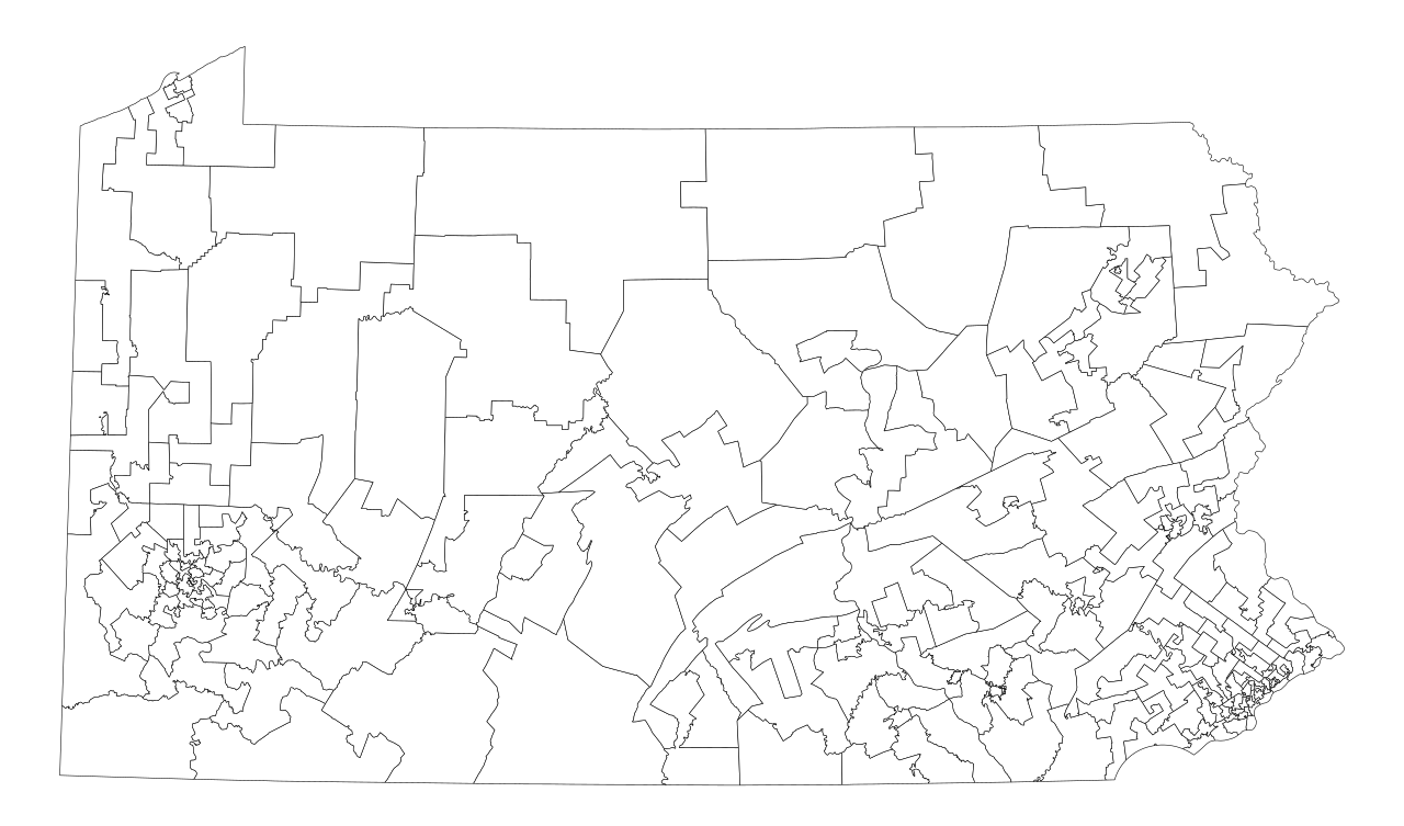
| Description | A blank map of the Pennsylvania House of Representatives districts, as of the 2014 elections. To be used until the 2022 elections (barring any court challenges or mid-decade redistricting) |
| Date | |
| Source | U.S. Census Bureau TIGER data and verified by Legislative Redistricting Commission |
| Author | Mr. Matté (if there is an issue with this image, contact me using this image's Commons talk page, my Commons user talk page, or my English Wikipedia user talk page; I'll know about it a lot faster) |
_2015.svg&action=edit&redlink=1)
Licensing
[edit]_2015.svg&action=edit§ion=2)
| I, the copyright holder of this work, release this work into the public domain. This applies worldwide. In some countries this may not be legally possible; if so: I grant anyone the right to use this work for any purpose, without any conditions, unless such conditions are required by law. |
File history
Click on a date/time to view the file as it appeared at that time.
| Date/Time | Thumbnail | Dimensions | User | Comment | |
|---|---|---|---|---|---|
| current | 11:50, 2 March 2015 | | 3,436 × 2,019 (1.17 MB) | Mr. Matté (talk | contribs) | =={{int:filedesc}}== {{Information |Description=A blank map of the en:Pennsylvania State House districts, as of the 2014 elections. To be used until the 2022 elections (barring any court challenges or mid-decade redistricting) |Source=[http://www... |
You cannot overwrite this file.
File usage on Commons
The following page uses this file:
_2015.svg&oldid=456348582)