File:Oze National Park and its surroundings, Japan; September 2018 (01) (cropped).jpg
Jump to navigation
Jump to search

Size of this preview: 800 × 503 pixels. Other resolutions: 320 × 201 pixels | 640 × 403 pixels | 1,024 × 644 pixels | 1,280 × 806 pixels | 2,560 × 1,611 pixels | 3,869 × 2,435 pixels.
Original file (3,869 × 2,435 pixels, file size: 5.41 MB, MIME type: image/jpeg)
Captions
Captions
Add a one-line explanation of what this file represents
Summary
[edit]| Description |
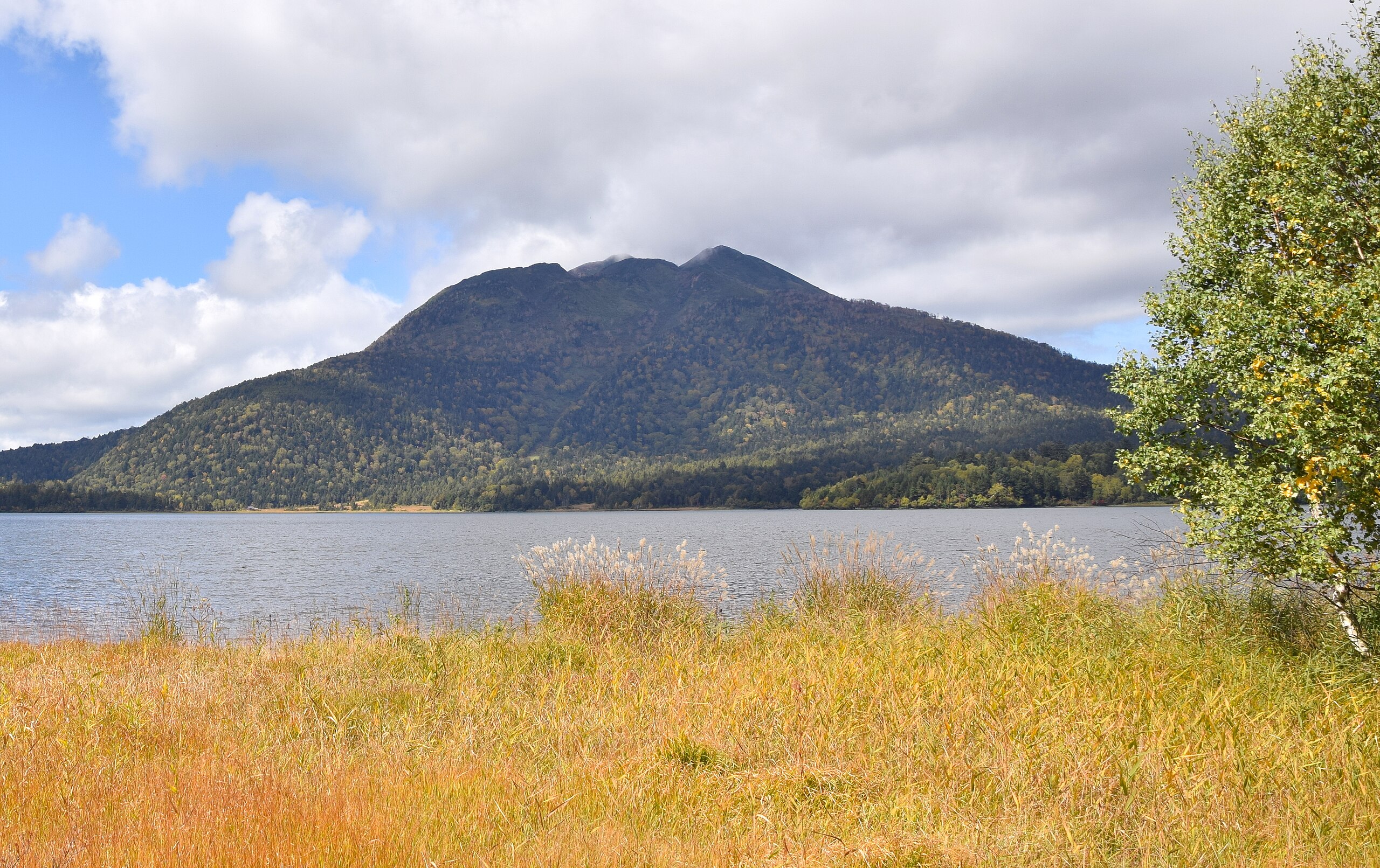
English: Oze National Park, is an area consisting of open greenland in Fukushima, Tochigi, Gunma and Niigata Prefectures in Japan. The park is 372 km² in area and is the 29th national park in Japan. |
| Date | |
| Source | https://www.flickr.com/photos/128275472@N07/49203344898/ |
| Author | 雷太 |
| Other versions |
.jpg)
_(cropped).jpg&action=edit§ion=1)
| Camera location | | View this and other nearby images on: OpenStreetMap |
|---|
_(cropped).jpg¶ms=036.912642_N_0139.301560_E_globe:Earth_type:camera__&language=en)
Licensing
[edit]_(cropped).jpg&action=edit§ion=2)
This file is licensed under the Creative Commons Attribution 2.0 Generic license.
- You are free:
- to share – to copy, distribute and transmit the work
- to remix – to adapt the work
- Under the following conditions:
- attribution – You must give appropriate credit, provide a link to the license, and indicate if changes were made. You may do so in any reasonable manner, but not in any way that suggests the licensor endorses you or your use.
File history
Click on a date/time to view the file as it appeared at that time.
| Date/Time | Thumbnail | Dimensions | User | Comment | |
|---|---|---|---|---|---|
| current | 08:14, 25 November 2023 | | 3,869 × 2,435 (5.41 MB) | THamuntili (talk | contribs) | File:Oze National Park and its surroundings, Japan; September 2018 (01).jpg cropped 35 % horizontally, 39 % vertically using CropTool with precise mode. |
You cannot overwrite this file.
File usage on Commons
The following page uses this file:
_(cropped).jpg&oldid=900810787)