File:Owyhee Wild and Scenic River, Oregon.jpg
Jump to navigation
Jump to search
Size of this preview: 800 × 533 pixels. Other resolutions: 320 × 213 pixels | 640 × 427 pixels | 1,024 × 683 pixels | 1,280 × 853 pixels | 2,560 × 1,707 pixels | 4,000 × 2,667 pixels.
Original file (4,000 × 2,667 pixels, file size: 8.95 MB, MIME type: image/jpeg)
Captions
Captions
Add a one-line explanation of what this file represents
Summary
[edit]
| Description |
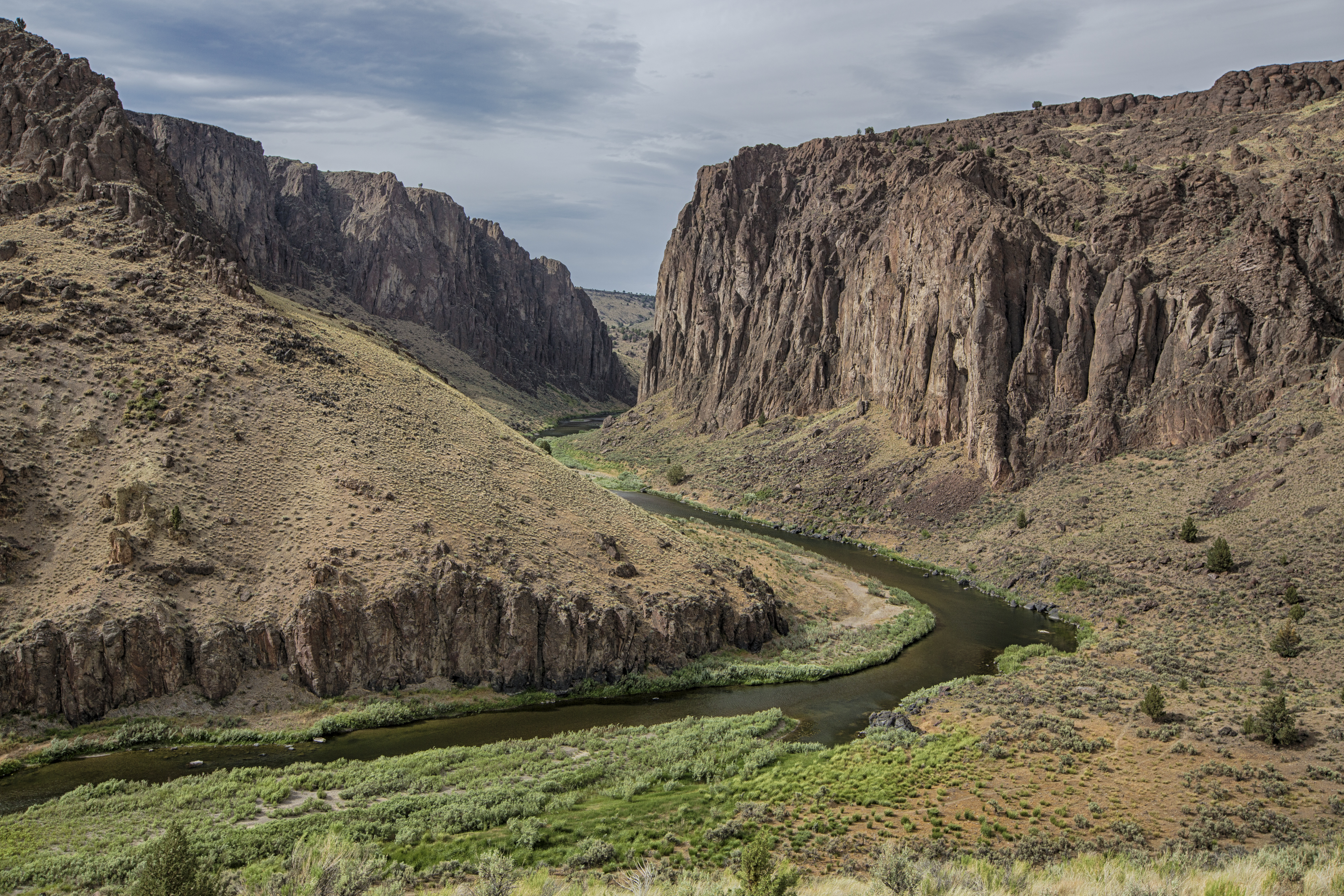
English: The headwaters of the Owyhee River are found in Elko County in northeastern Nevada. The Owyhee flows north along the east side of the Independence Mountains before it proceeds through southwestern Idaho where it is joined by the South Fork of the Owyhee River before reaching the Oregon border. In 1984, Congress designated 120 miles of the Owyhee, beginning at the Idaho-Oregon border downstream to the Owyhee Reservoir (excluding two short segments). The entire segment is classified as ‘wild.’ |
| Date | |
| Source | https://www.flickr.com/photos/mypubliclands/35821197724/in/album-72157685262658613/ |
| Author | Photo by Bob Wick, Bureau of Land Management |
Licensing
[edit]
| This image was originally posted to Flickr by mypubliclands at https://flickr.com/photos/91981596@N06/35821197724 (archive). It was reviewed on 2018-04-11 17:50:29 by FlickreviewR 2, who found it to be licensed under the terms of the cc-by-2.0, which is compatible with the Commons. It is, however, not the same license as given above, and it is unknown whether that license ever was valid. |
| This image is a work of a Bureau of Land Management* employee, taken or made as part of that person's official duties. As a work of the U.S. federal government, the image is in the public domain in the United States. *or predecessor organization |
File history
Click on a date/time to view the file as it appeared at that time.
| Date/Time | Thumbnail | Dimensions | User | Comment | |
|---|---|---|---|---|---|
| current | 15:50, 11 April 2018 | | 4,000 × 2,667 (8.95 MB) | Sunruh (talk | contribs) | User created page with UploadWizard |
You cannot overwrite this file.
File usage on Commons
There are no pages that use this file.