File:Outline map of Shatoysky District on the map of Chechnya.svg
Jump to navigation
Jump to search

Size of this PNG preview of this SVG file: 642 × 599 pixels. Other resolutions: 257 × 240 pixels | 514 × 480 pixels | 823 × 768 pixels | 1,097 × 1,024 pixels | 2,195 × 2,048 pixels | 2,273 × 2,121 pixels.
Original file (SVG file, nominally 2,273 × 2,121 pixels, file size: 1.17 MB)
Captions
Captions
Add a one-line explanation of what this file represents
Summary
[edit]
| Description |
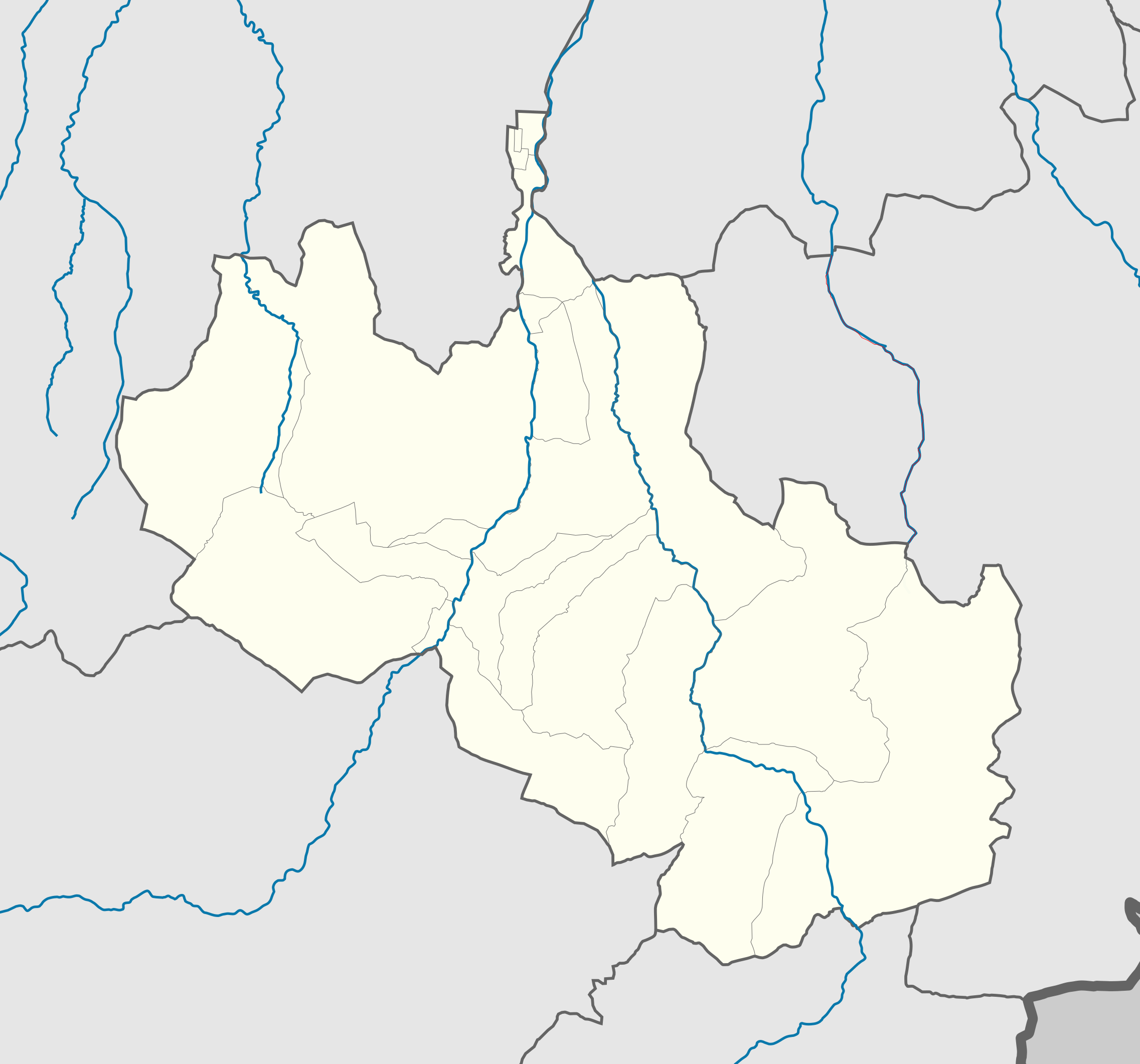
Русский: Карта Шатойского района Чечни |
| Date | |
| Source | Own work |
| Author | Дагиров Умар |
Licensing
[edit]
I, the copyright holder of this work, hereby publish it under the following licenses:

|
Permission is granted to copy, distribute and/or modify this document under the terms of the GNU Free Documentation License, Version 1.2 or any later version published by the Free Software Foundation; with no Invariant Sections, no Front-Cover Texts, and no Back-Cover Texts. A copy of the license is included in the section entitled GNU Free Documentation License. |
This file is licensed under the Creative Commons Attribution 3.0 Unported license.
- You are free:
- to share – to copy, distribute and transmit the work
- to remix – to adapt the work
- Under the following conditions:
- attribution – You must give appropriate credit, provide a link to the license, and indicate if changes were made. You may do so in any reasonable manner, but not in any way that suggests the licensor endorses you or your use.
You may select the license of your choice.
File history
Click on a date/time to view the file as it appeared at that time.
| Date/Time | Thumbnail | Dimensions | User | Comment | |
|---|---|---|---|---|---|
| current | 12:01, 11 January 2020 | | 2,273 × 2,121 (1.17 MB) | Takhirgeran Umar (talk | contribs) | границы |
| 08:16, 26 December 2019 |  | 1,324 × 1,099 (79 KB) | RosssW (talk | contribs) | Reverted to version as of 13:25, 3 June 2012 (UTC) | |
| 09:25, 21 October 2017 |  | 161 × 146 (55 KB) | Takhirgeran Umar (talk | contribs) | доза | |
| 01:16, 2 February 2013 |  | 161 × 146 (60 KB) | Takhirgeran Umar (talk | contribs) | граница 2012 года | |
| 13:25, 3 June 2012 |  | 1,324 × 1,099 (79 KB) | Takhirgeran Umar (talk | contribs) | Цвет границы | |
| 13:14, 3 June 2012 |  | 1,324 × 1,099 (79 KB) | Takhirgeran Umar (talk | contribs) | Границы сельских поселении | |
| 10:41, 13 May 2012 |  | 1,324 × 1,099 (70 KB) | Takhirgeran Umar (talk | contribs) | {{Information |Description ={{ru|1=Карта Шатойского района Чечни}} |Source =Собственная работа |Author =Дагиров Умар |Date =13 май 2012 |Permission = |other_versi... |
You cannot overwrite this file.
File usage on Commons
There are no pages that use this file.
File usage on other wikis
The following other wikis use this file:
- Usage on ce.wikipedia.org
- ЧӀишка
- Доча-Борзе
- БашлагӀа
- Шуьйта
- Жима Хьорсана
- Борзе
- Асланбек-Шерипово
- Мус-Кхаьлла
- Бена (Шуьйтан кӀошт)
- Мусолт-Эвла
- Дехьа-Йисте
- РегӀдукъа
- Тумса
- Суьжа
- Лакха-Варанда
- Вашандара
- Хьаьлкана
- Гоьргача
- Пхьаьмта
- ГӀуш-Корта
- Бекум-кхелла
- Ваьрде
- Саьтта
- Уьрд-Юхе
- Йуккъера-Кела
- Сона
- Хьакка
- Хьал-Кела
- Улус-Керт
- Хьорсана
- Нихала
- Зонах
- Кеп:Меттиган карта Росси Нохчийчоь Шуьйтан кӀошт
- Шуьйтан йуьртан меттиг
- ГӀаьттин-Кхаьлла
- Хьена-Кхаьлла
- Зурзукъа
- ЗазаргӀана
- Гуьлса
- Маьршан-Кхаьлла
- Usage on de.wikipedia.org
- Usage on kbd.wikipedia.org
- Usage on os.wikipedia.org
- Usage on ru.wikipedia.org
View more global usage of this file.