File:Outline Map of Yamalo-Nenetsky AO.png
Jump to navigation
Jump to search

Size of this preview: 466 × 600 pixels. Other resolutions: 186 × 240 pixels | 373 × 480 pixels | 696 × 896 pixels.
Original file (696 × 896 pixels, file size: 162 KB, MIME type: image/png)
Captions
Captions
Add a one-line explanation of what this file represents
Summary
[edit]| Description |
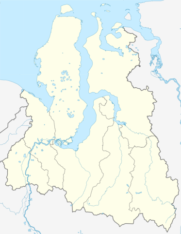
Русский: Административная карта Ямало-Ненецкого автономного округа, Россия.
|
| Date | |
| Source |
|
| Author | Nzeemin |
| Other versions |
|

Licensing
[edit]
| Description |
This map was created from OpenStreetMap project data, collected by the community. This map may be incomplete, and may contain errors. Don't rely solely on it for navigation. |
| Date | (see file history) |
| Source | openstreetmap.org |
| Creator |
OpenStreetMap contributors |
| Permission (Reusing this file) |
OpenStreetMap data and maps are licensed under the Creative Commons Attribution-ShareAlike 2.0 license (CC-BY-SA 2.0). This file is licensed under the Creative Commons Attribution-Share Alike 2.0 Generic license.
|
| Georeferencing | If inappropriate please set warp_status = skip to hide. |
File history
Click on a date/time to view the file as it appeared at that time.
| Date/Time | Thumbnail | Dimensions | User | Comment | |
|---|---|---|---|---|---|
| current | 22:55, 2 November 2015 | | 696 × 896 (162 KB) | Stasyan117 (talk | contribs) | Единый Красноярский край |
| 21:42, 16 February 2012 |  | 696 × 896 (129 KB) | Nzeemin (talk | contribs) |
You cannot overwrite this file.
File usage on Commons
The following page uses this file:
File usage on other wikis
The following other wikis use this file:
- Usage on af.wikipedia.org
- Usage on az.wikipedia.org
- Usage on be.wikipedia.org
- Usage on bg.wikipedia.org
- Usage on crh.wikipedia.org
- Usage on cs.wikipedia.org
View more global usage of this file.