File:Outline Map of Ryazan Oblast.svg
Jump to navigation
Jump to search

Size of this PNG preview of this SVG file: 512 × 492 pixels. Other resolutions: 250 × 240 pixels | 500 × 480 pixels | 799 × 768 pixels | 1,066 × 1,024 pixels | 2,131 × 2,048 pixels.
Original file (SVG file, nominally 512 × 492 pixels, file size: 276 KB)
Captions
Captions
Add a one-line explanation of what this file represents
Summary
[edit]| Description |
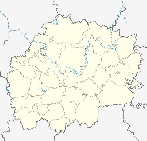
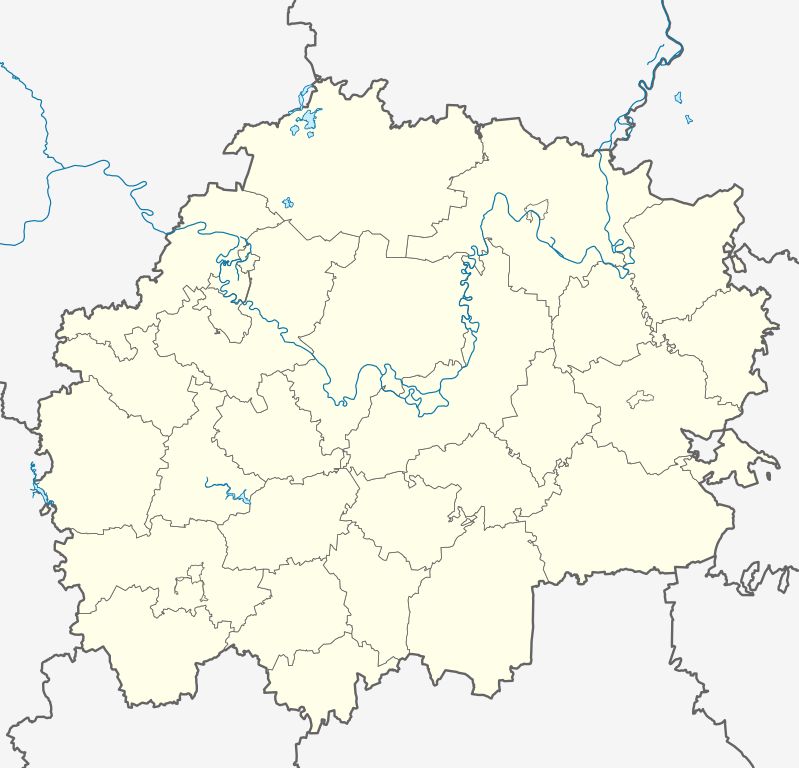
Русский: Позиционная карта Рязанской области
|top = 55.6 |bottom = 53.2 |left = 38.5 |right = 42.8 |
| Date | |
| Source |
Own work This W3C-unspecified vector image was created with Inkscape .
|
| Author | Виктор В |
| Other versions |
[] |


Licensing
[edit]
| I, the copyright holder of this work, release this work into the public domain. This applies worldwide. In some countries this may not be legally possible; if so: I grant anyone the right to use this work for any purpose, without any conditions, unless such conditions are required by law. |
File history
Click on a date/time to view the file as it appeared at that time.
| Date/Time | Thumbnail | Dimensions | User | Comment | |
|---|---|---|---|---|---|
| current | 16:14, 30 August 2010 | | 512 × 492 (276 KB) | Виктор В (talk | contribs) | +реки |
| 16:02, 29 August 2010 |  | 512 × 492 (231 KB) | Виктор В (talk | contribs) | == {{int:filedesc}} == {{Information |Description={{ru|1=Позиционная карта Рязанской области *Проекция — равноугольная. *Стандартная параллель — 54°30′00″с.ш. *Парам� |
You cannot overwrite this file.
File usage on Commons
The following 3 pages use this file:
File usage on other wikis
The following other wikis use this file:
- Usage on af.wikipedia.org
- Usage on ar.wikipedia.org
- Usage on azb.wikipedia.org
- Usage on ba.wikipedia.org
- Usage on be.wikipedia.org
- Спас-Клепікі
- Разань
- Спаск-Разанскі
- Шацк (Разанская вобласць)
- Скапін
- Сасава
- Ражск
- Рыбнае (Разанская вобласць)
- Новамічурынск
- Міхайлаў (горад)
- Карабліно
- Касімаў
- Шаблон:На карце/Расія Разанская вобласць
- Пронск
- Гусь-Жалезны
- Ухалава
- Павелец
- Тума
- Чучкава
- Кадам
- Старажылава
- Сараі
- Ялацьма
- Ерміш
- Акцябрскі (Разанская вобласць)
- Іжаўскае (Разанская вобласць)
- Сапажок (Разанская вобласць)
- Пабедзінка
- Міласлаўскае (Разанская вобласць)
- Лясны (Разанская вобласць)
- Піцеліна
- Сынтул
- Аляксандра-Неўскі (Разанская вобласць)
- Цэнтральны (Разанская вобласць)
- Захарава (Захараўскі раён)
- Пуцяціна (Разанская вобласць)
- Usage on bg.wikipedia.org
- Usage on ceb.wikipedia.org
- Usage on ce.wikipedia.org
View more global usage of this file.