File:Outline Map of Murmansk region.svg
Jump to navigation
Jump to search

Size of this PNG preview of this SVG file: 720 × 548 pixels. Other resolutions: 315 × 240 pixels | 631 × 480 pixels | 1,009 × 768 pixels | 1,280 × 974 pixels | 2,560 × 1,948 pixels.
Original file (SVG file, nominally 720 × 548 pixels, file size: 2.04 MB)
Captions
Captions
Add a one-line explanation of what this file represents
Summary
[edit]
.svg)
.svg)
.svg)
.svg)
.svg)
.svg)
.svg)
.svg)
.svg)
.svg)
.svg)
.svg)
.svg)
.svg)
.svg)
.svg)
.svg)
Licensing
[edit]
I, the copyright holder of this work, hereby publish it under the following licenses:
This file is licensed under the Creative Commons Attribution-Share Alike 3.0 Unported license.
- You are free:
- to share – to copy, distribute and transmit the work
- to remix – to adapt the work
- Under the following conditions:
- attribution – You must give appropriate credit, provide a link to the license, and indicate if changes were made. You may do so in any reasonable manner, but not in any way that suggests the licensor endorses you or your use.
- share alike – If you remix, transform, or build upon the material, you must distribute your contributions under the same or compatible license as the original.

|
Permission is granted to copy, distribute and/or modify this document under the terms of the GNU Free Documentation License, Version 1.2 or any later version published by the Free Software Foundation; with no Invariant Sections, no Front-Cover Texts, and no Back-Cover Texts. A copy of the license is included in the section entitled GNU Free Documentation License. |
You may select the license of your choice.
File history
Click on a date/time to view the file as it appeared at that time.
| Date/Time | Thumbnail | Dimensions | User | Comment | |
|---|---|---|---|---|---|
| current | 01:27, 8 February 2011 | | 720 × 548 (2.04 MB) | Insider (talk | contribs) | На всех картах исправлено цветовое оформление Карелии и Архангельской области; не на всех картах исправлена окраска островов, на карте Кол |
| 11:03, 7 February 2011 |  | 720 × 548 (2.04 MB) | Das steinerne Herz (talk | contribs) | correction (borders of districts) | |
| 08:15, 7 February 2011 |  | 720 × 548 (2.04 MB) | Das steinerne Herz (talk | contribs) | corr | |
| 08:11, 7 February 2011 |  | 720 × 548 (2.04 MB) | Das steinerne Herz (talk | contribs) | corr | |
| 08:07, 7 February 2011 |  | 720 × 548 (2.04 MB) | Das steinerne Herz (talk | contribs) | correction | |
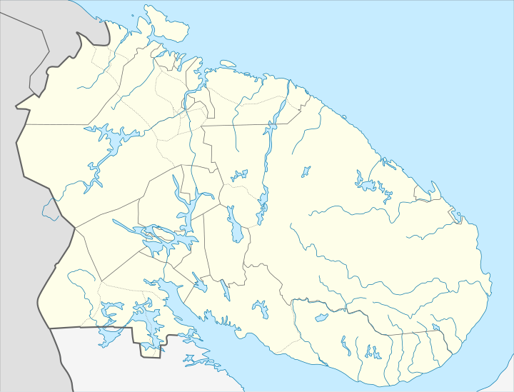
| 08:06, 7 February 2011 |  | 720 × 548 (2.04 MB) | Das steinerne Herz (talk | contribs) | {{Information |Description ={{ru|1=Позиционная карта Мурманской области *Проекция — равноугольная. *Стандартная параллель — 68°00′00″с.ш. *Параметры шабл� |
You cannot overwrite this file.
File usage on Commons
The following 19 pages use this file:
- User talk:Alphathon
- File:Location of Alexandrovsk district (Murmansk Oblast).svg
- File:Location of Apatity district (Murmansk Oblast).svg
- File:Location of Kandalaksha district (Murmansk Oblast).svg
- File:Location of Kirovsk district (Murmansk Oblast).svg
- File:Location of Kolsky district (Murmansk Oblast).svg
- File:Location of Kovdorsky district (Murmansk Oblast).svg
- File:Location of Lovozersky district (Murmansk Oblast).svg
- File:Location of Monchegorsk district (Murmansk Oblast).svg
- File:Location of Murmansk district (Murmansk Oblast).svg
- File:Location of Olenegorsk district (Murmansk Oblast).svg
- File:Location of Ostrovnoy district (Murmansk Oblast).svg
- File:Location of Pechengsky district (Murmansk Oblast).svg
- File:Location of Polyarnye Zori district (Murmansk Oblast).svg
- File:Location of Severomorsk district (Murmansk Oblast).svg
- File:Location of Tersky district (Murmansk Oblast).svg
- File:Location of Vidiaevo district (Murmansk Oblast).svg
- File:Location of Zaozyorsk district (Murmansk Oblast).svg
- File:Railways of Murmansk Oblast.svg
File usage on other wikis
The following other wikis use this file:
- Usage on af.wikipedia.org
- Usage on ar.wikipedia.org
- Usage on az.wikipedia.org
- Usage on ba.wikipedia.org
- Usage on be.wikipedia.org
- Мурманск
- Палярныя Зоры
- Апатыты
- Печанга
- Аленягорск
- Астраўной
- Гаджыева
- Заазёрск
- Запалярны
- Севераморск
- Снежнагорск (Мурманская вобласць)
- Кіраўск (Мурманская вобласць)
- Каўдор
- Кола (Мурманская вобласць)
- Манчагорск
- Высокі
- Шаблон:На карце/Расія Мурманская вобласць
- Нікель (Мурманская вобласць)
- Умба (пасёлак гарадскога тыпу)
- Туманны
- Сафонава (Мурманская вобласць)
- Рэўда (Мурманская вобласць)
- Лінахамары
- Запалярны (Ямала-Ненецкая аўтаномная акруга)
- Відзяева
- Кільдзінстрой
- Лавозера (сяло)
- Usage on bg.wikipedia.org
- Usage on bn.wikipedia.org
- Usage on ceb.wikipedia.org
- Usage on ce.wikipedia.org
- Мурманск
- Североморск
- Кеп:Меттиган карта Росси Мурманскан область
- Кандалакша
- Бели Море (нах беха меттиг)
- Федосеевка (Мурманскан область)
- Лесозаводски (Мурманскан область)
- Приозерни (Мурманскан область)
- Ручьи (Мурманскан область)
- Ковда (эвла)
- Ковдозеро (эвла)
- Колвица (эвла)
- Лувеньга (эвла)
- Нямозеро (станци)
- Ковда (станци)
View more global usage of this file.