File:Outline Map of Karachay-Cherkessia.svg
Jump to navigation
Jump to search

Size of this PNG preview of this SVG file: 512 × 484 pixels. Other resolutions: 254 × 240 pixels | 508 × 480 pixels | 812 × 768 pixels | 1,083 × 1,024 pixels | 2,167 × 2,048 pixels.
Original file (SVG file, nominally 512 × 484 pixels, file size: 144 KB)
Captions
Captions
Add a one-line explanation of what this file represents
Summary
[edit]| Description |
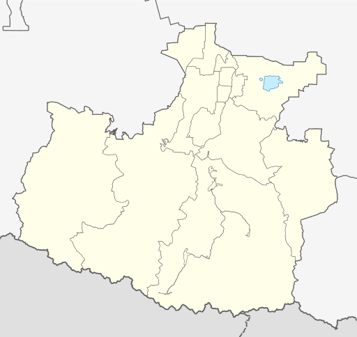
Русский: Позиционная карта Карачаево-Черкесской Республики
|top = 44.6 |bottom = 43.1 |left = 40.6 |right = 42.8 |
| Date | |
| Source |
Own work This W3C-unspecified vector image was created with Inkscape .
|
| Author | Виктор В |
| Other versions |
[] |


Licensing
[edit]
This file is licensed under the Creative Commons Attribution-Share Alike 2.0 Generic license.
- You are free:
- to share – to copy, distribute and transmit the work
- to remix – to adapt the work
- Under the following conditions:
- attribution – You must give appropriate credit, provide a link to the license, and indicate if changes were made. You may do so in any reasonable manner, but not in any way that suggests the licensor endorses you or your use.
- share alike – If you remix, transform, or build upon the material, you must distribute your contributions under the same or compatible license as the original.
File history
Click on a date/time to view the file as it appeared at that time.
| Date/Time | Thumbnail | Dimensions | User | Comment | |
|---|---|---|---|---|---|
| current | 20:58, 25 October 2015 | | 512 × 484 (144 KB) | Stasyan117 (talk | contribs) | границы |
| 15:29, 3 September 2010 |  | 512 × 484 (144 KB) | Виктор В (talk | contribs) | Исправление границ в соответствии с СТП | |
| 19:55, 2 September 2010 |  | 512 × 484 (128 KB) | Виктор В (talk | contribs) | Reverted to version as of 19:41, 2 September 2010 | |
| 19:52, 2 September 2010 |  | 512 × 484 (128 KB) | Виктор В (talk | contribs) | +1 ГО | |
| 19:41, 2 September 2010 |  | 512 × 484 (128 KB) | Виктор В (talk | contribs) | == {{int:filedesc}} == {{Information |Description={{ru|1=Позиционная карта Карачаево-Черкесской Республики *Проекция — равноугольная. *Стандартная параллель — 43°48 |
You cannot overwrite this file.
File usage on Commons
The following 3 pages use this file:
File usage on other wikis
The following other wikis use this file:
- Usage on af.wikipedia.org
- Usage on ar.wikipedia.org
- Usage on azb.wikipedia.org
- Usage on ba.wikipedia.org
- Usage on be.wikipedia.org
- Карачаеўск
- Усць-Джэгута
- Тэберда
- Шаблон:На карце/Расія Карачаева-Чаркесія
- Курджынава
- Учкекен
- Дамбай (курортны пасёлак)
- Меднагорскі
- Новы Карачай
- Эльбрускі
- Архыз
- Ударны (Карачаева-Чаркесія)
- Адыгэ-Хабль
- Эркен-Шахар
- Хабез
- Інжыч-Чукун
- Каўказскі (Карачаева-Чаркесія)
- Зелянчукская
- Праградная (станіца)
- Правакубанскі
- Арджанікідзэўскі
- Usage on bg.wikipedia.org
- Usage on ceb.wikipedia.org
- Usage on ce.wikipedia.org
- Куцкеп:Меттиган карта Росси Кхарачой-Чергазийчоь
- Черкесск
- Кхарачаевск
- Усть-Джегута
- Инжич-Чукун
- Кубина (Кхарачой-Чергазийчоь)
- Эльбурган
- Псыж
- Кара-Паго
- Адыге-ХӀабла
- Грушка (Кхарачой-Чергазийчоь)
- Садови (Кхарачой-Чергазийчоь)
- Спарта (Кхарачой-Чергазийчоь)
- Тапанта (Кхарачой-Чергазийчоь)
- Дубянски (кӀотар)
- Керла-Кувинск
- Керла-Абазинск
- Вако-Жиле
- Абаза-ХӀабла
- Баралки
- Шира-Кувинск
View more global usage of this file.