File:Our Lady of Pity's Church, Harlescott.jpg
Jump to navigation
Jump to search
Size of this preview: 450 × 600 pixels. Other resolutions: 180 × 240 pixels | 634 × 845 pixels.
Original file (634 × 845 pixels, file size: 180 KB, MIME type: image/jpeg)
Captions
Captions
Add a one-line explanation of what this file represents
Summary
[edit]
| Description |
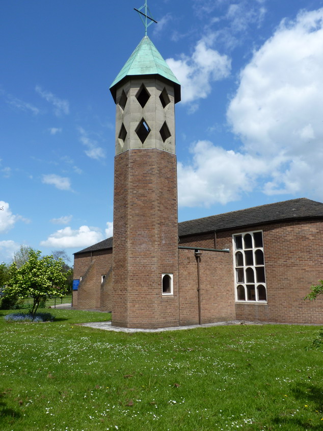
English: Roman Catholic church of Our Lady of Pity, Meadow Farm Drive, Harlescott, Shrewsbury, Shropshire, seen from the southwest |
| Date | |
| Source | geograph.org.uk |
| Author | Richard Law |
| Attribution (required by the license) | Richard Law / Our Lady of Pity church tower / |
| Camera location | | View this and other nearby images on: OpenStreetMap |
|---|
Licensing
[edit]

|
This image was taken from the Geograph project collection. See this photograph's page on the Geograph website for the photographer's contact details. The copyright on this image is owned by Richard Law and is licensed for reuse under the Creative Commons Attribution-ShareAlike 2.0 license.
|
This file is licensed under the Creative Commons Attribution-Share Alike 2.0 Generic license.
Attribution: Richard Law
- You are free:
- to share – to copy, distribute and transmit the work
- to remix – to adapt the work
- Under the following conditions:
- attribution – You must give appropriate credit, provide a link to the license, and indicate if changes were made. You may do so in any reasonable manner, but not in any way that suggests the licensor endorses you or your use.
- share alike – If you remix, transform, or build upon the material, you must distribute your contributions under the same or compatible license as the original.
File history
Click on a date/time to view the file as it appeared at that time.
| Date/Time | Thumbnail | Dimensions | User | Comment | |
|---|---|---|---|---|---|
| current | 23:58, 9 September 2017 | | 634 × 845 (180 KB) | Geograph Update Bot (talk | contribs) | Higher-resolution version from Geograph. |
| 18:52, 6 August 2012 |  | 480 × 640 (80 KB) | Peter I. Vardy (talk | contribs) |
You cannot overwrite this file.
File usage on Commons
The following page uses this file:
File usage on other wikis
The following other wikis use this file:
- Usage on en.wikipedia.org
- Usage on www.wikidata.org
Metadata
Categories:
- 1960s brick churches in England
- 20th-century brick church towers in England
- 20th-century churches in Shropshire
- Brick churches in Shropshire
- Church towers in Shropshire
- Church windows in Shropshire
- Churches in England built in 1961
- Churches in Shrewsbury
- Copper roofs in England
- Octagonal church towers in England
- Roman Catholic churches in Shropshire
- Saint Mary churches in Shropshire
- F. X. Velarde